
The map room
The historical sheets the project holds, as documents: the company's own plans, the county's plats and abstract maps, the insurers' and the planners' drawings, and what the ground became. Several of these are what the interactive maps were traced from, and each says which. Click a sheet for a larger view; the originals stay in the archive at full size.
The colony's own sheets, 1855–1858
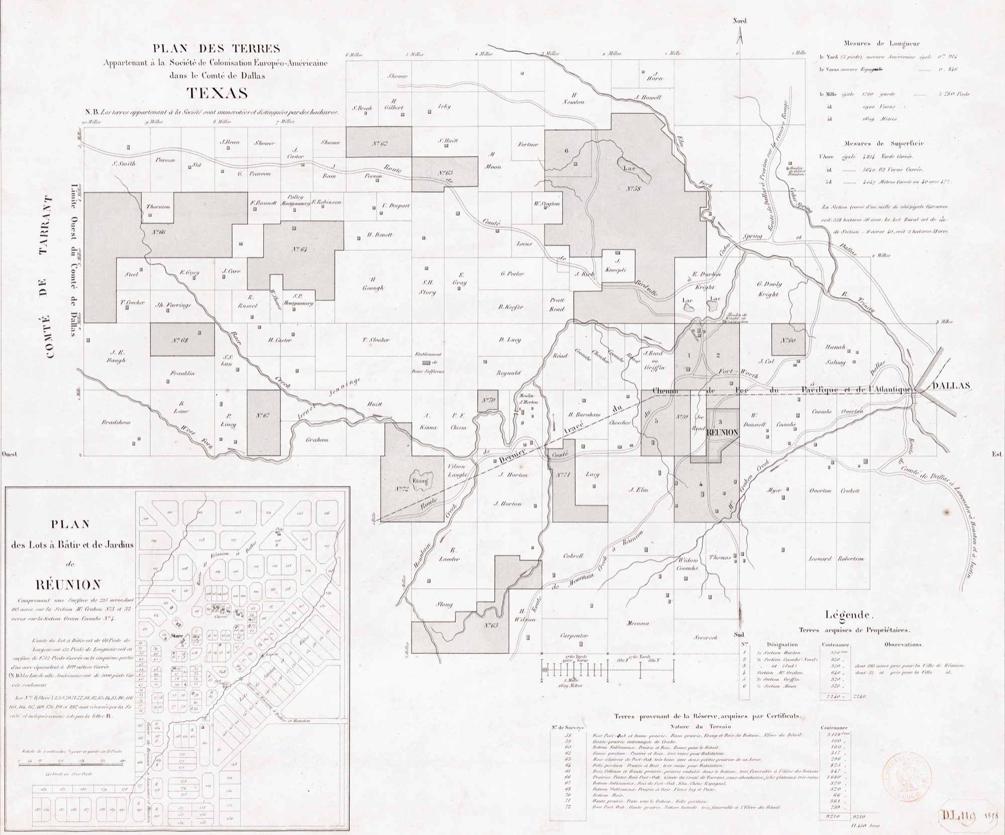
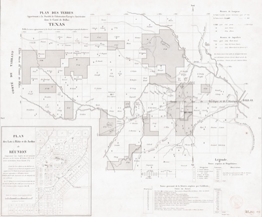 Plan des terres appartenant à la Société de colonisation européo-américaine dans le comté de Dallas, Texas — c. 1855–1858
The company's own map of what it bought: the numbered survey squares, the purchased sections shaded, the reserve, the town plan inset, and the Chemin de fer du Pacifique et de l'Atlantique ruled straight through the holdings — the projected railroad the whole placement depended on.
Bibliothèque nationale de France (Gallica)
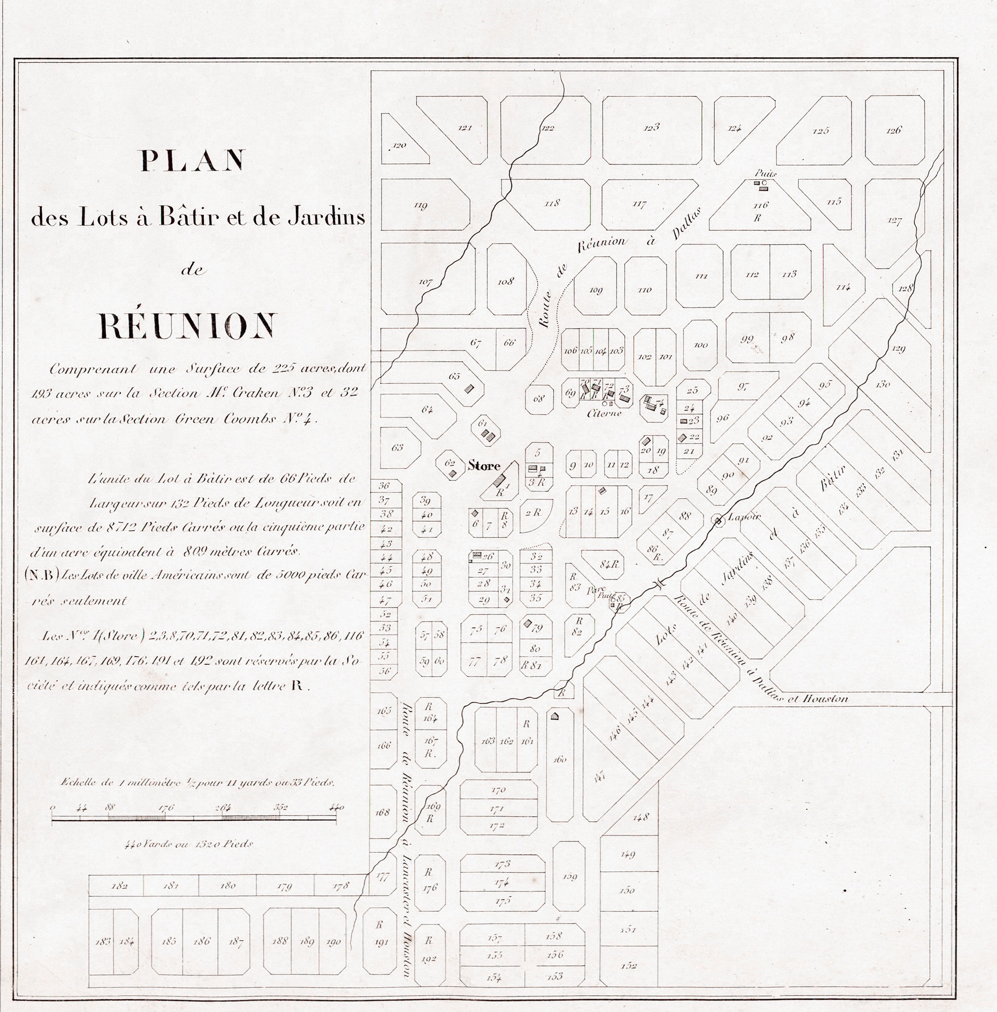
On the site: the colony lands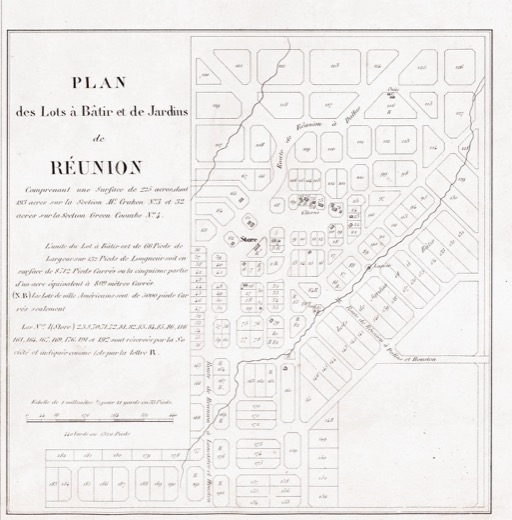 Plan des lots à bâtir et de jardins de Réunion — 1855–1856
225 acres on McCracken section 3 and Coombs section 4: 192 building and garden lots along the road from Réunion to Dallas, the store, the cistern, and the lots marked R that the Society kept for itself.
The company's engraved plan; also the inset of the sheet above
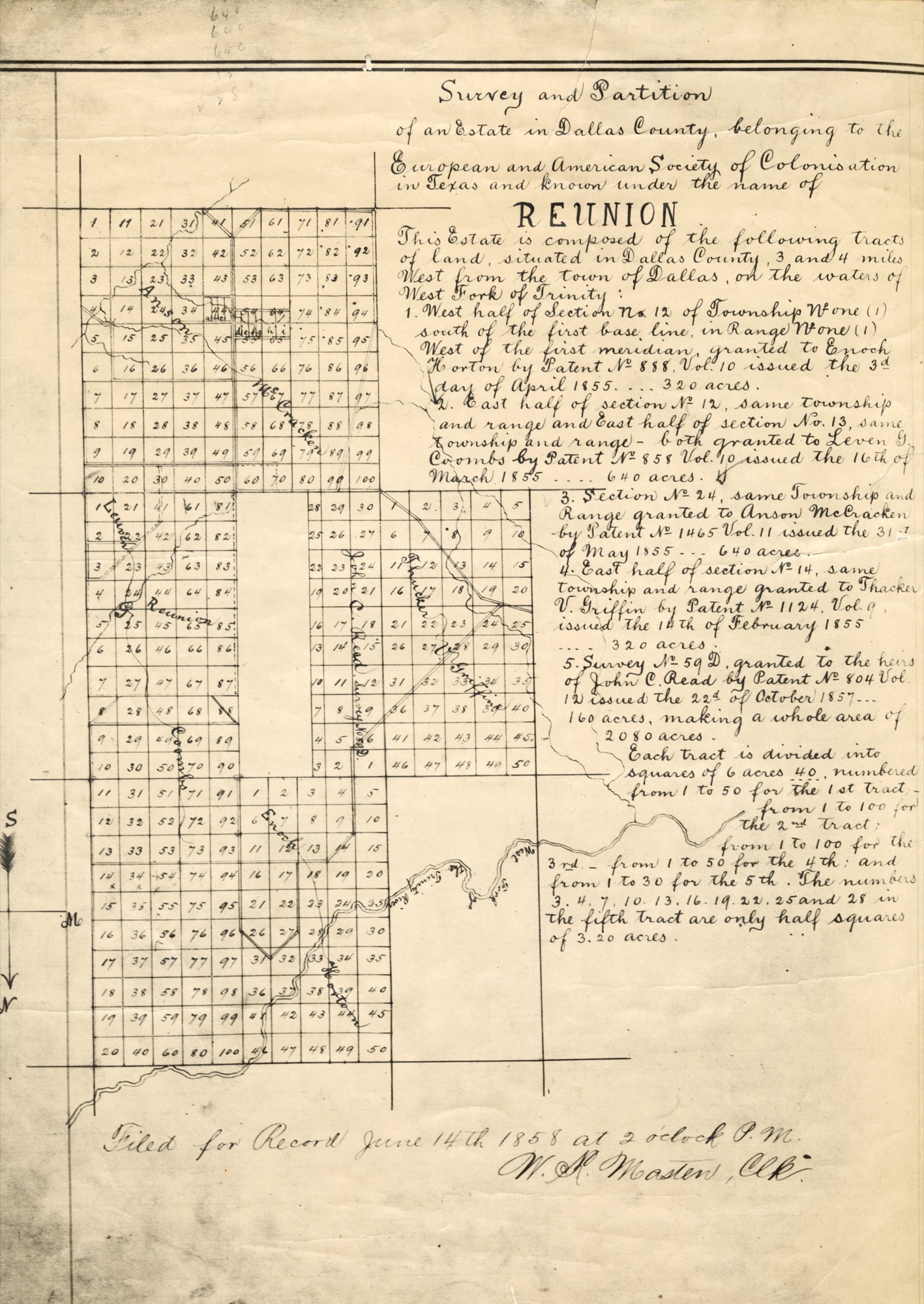
On the site: the two towns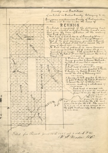 Survey and Partition of an Estate in Dallas County belonging to the European and American Society of Colonisation in Texas and known under the name of Réunion — filed for record 14 June 1858
The five tracts by patent — Horton, Coombs, McCracken, Griffin and Read, 2,080 acres — divided into squares of six acres and forty, numbered for sale. The document behind the holdings layer of the colony map.
Dallas Historical Society, A.37.48
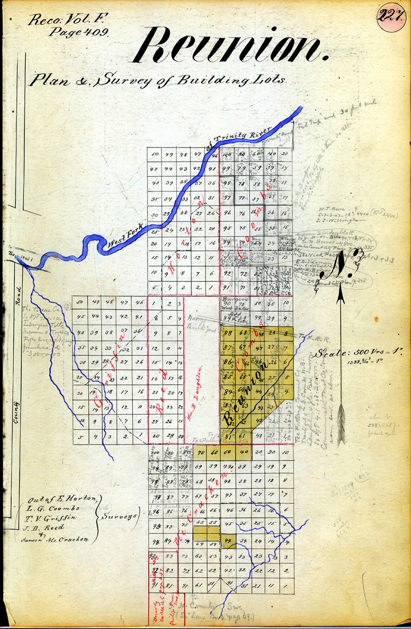
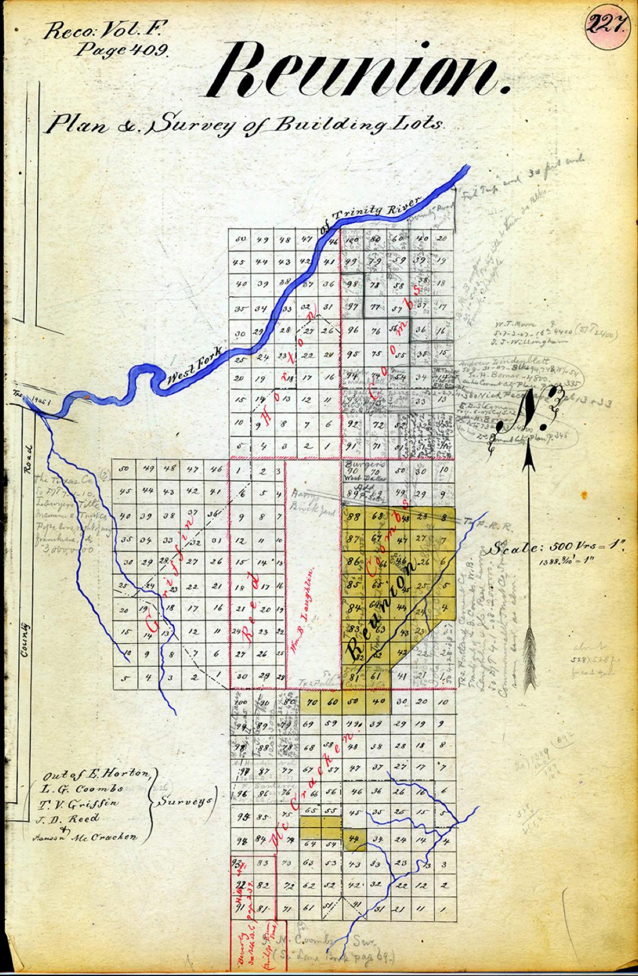
On the site: the colony lands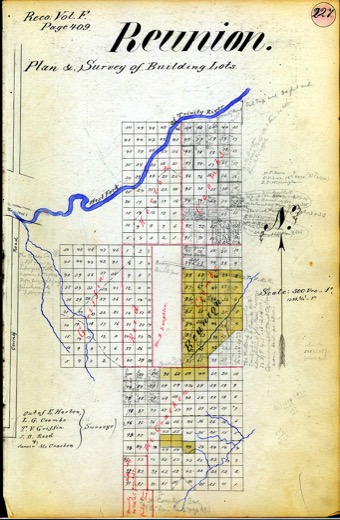 Réunion, plan and survey of building lots — recorded Vol. F, p. 409 — 1858, with later owners pencilled in
The county's copy of the partition, kept by the city's title-abstract firm and annotated for half a century: the surveys, the numbered squares, the town in yellow, and the names of who held what afterwards.
Murphy & Bolanz addition book 2, p. 227 (Dallas Public Library); 500 varas to the inch · pages: 1 · 2
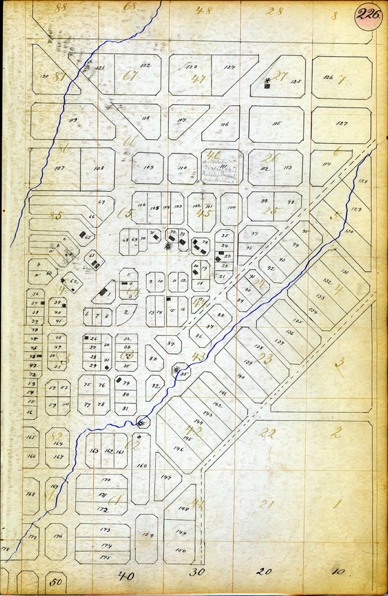
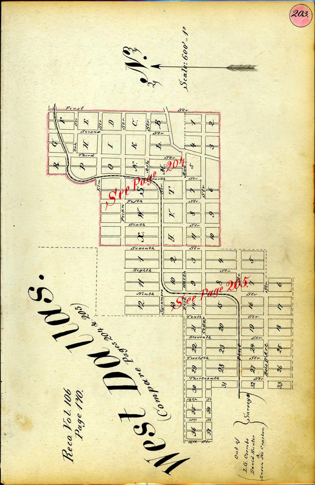
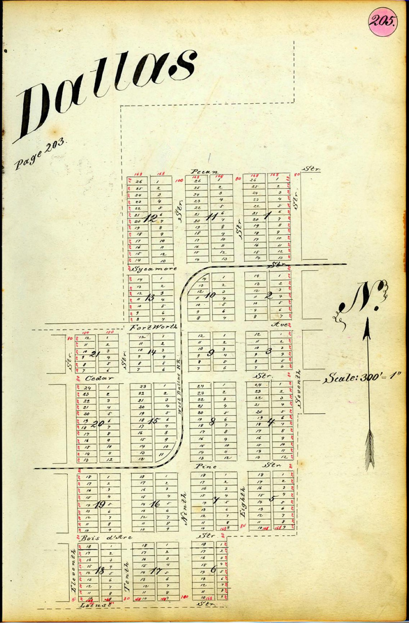
On the site: the deed-book plat layer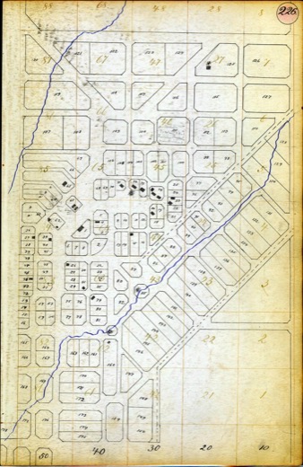 Réunion Building and Gardening Association — the town lots — recorded Vol. F, p. 409; addition book, undated
The town plan redrawn on the addition-book page — "on the ground about 3 miles west, out of the L. G. Coombs survey" — with the lot numbers and the creek. The geometry the 1867 town register needs.
Murphy & Bolanz addition book 2, p. 226 (Dallas Public Library)
On the site: the two towns
County and city, 1886–1911
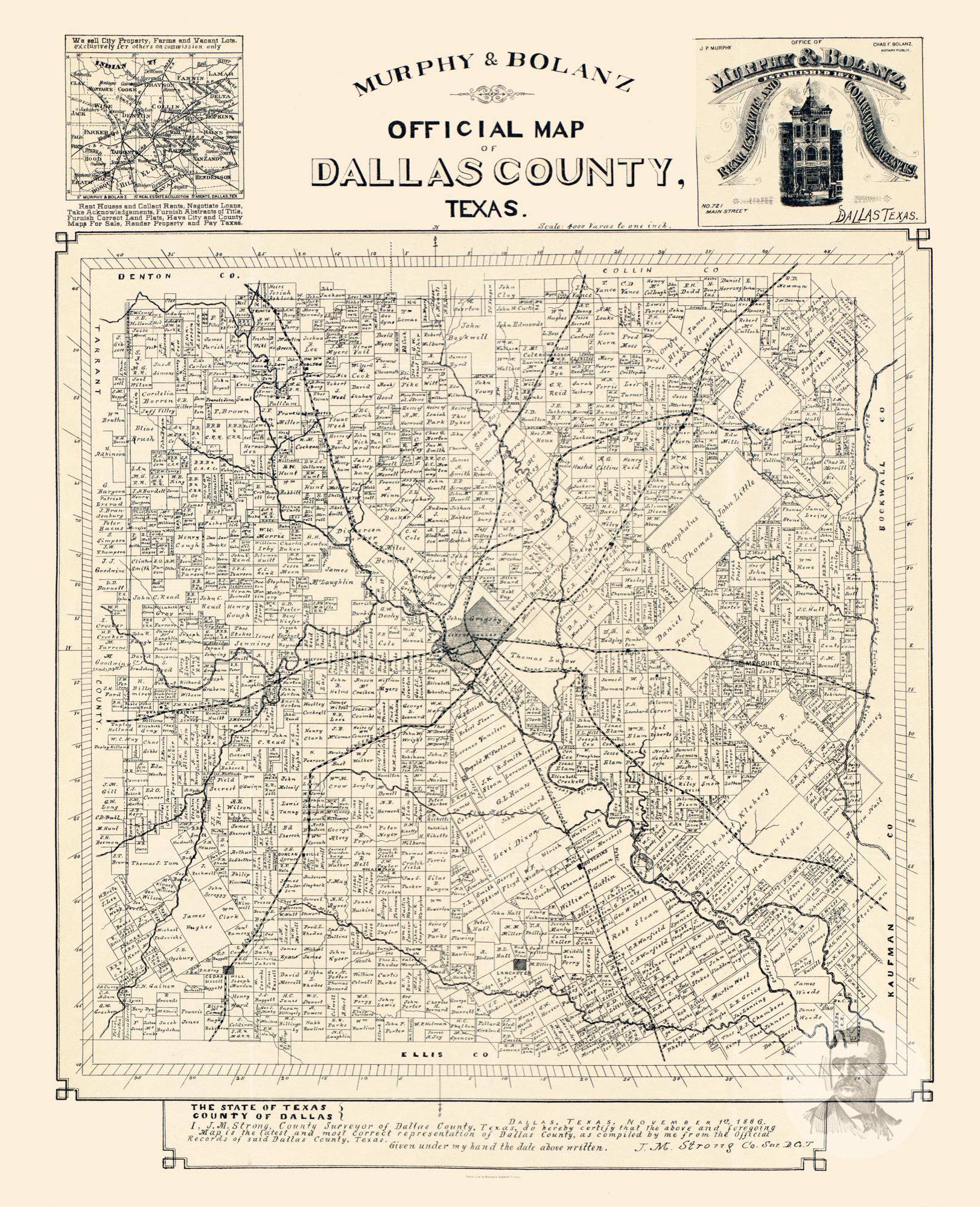
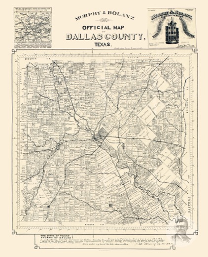 Murphy & Bolanz official map of Dallas County, Texas — certified by J. M. Strong, county surveyor, November 1886
Every survey abstract in the county with its owner, the railroads, and the towns; the colony land under its post-colony owners.
Murphy & Bolanz
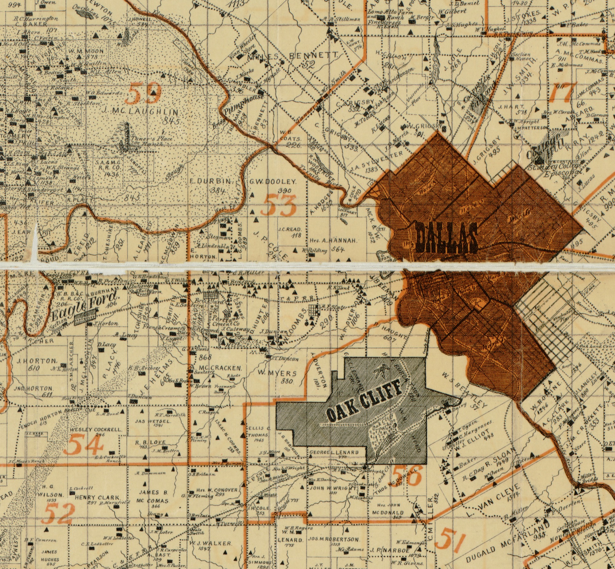
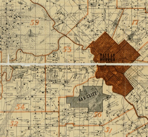 Sam Street's map of Dallas County — the western sheet — 1900
Dallas, Oak Cliff, Eagle Ford and the colony land with every owner's name and acreage. Hand-traced for the 1900 chapter of the colony map; the same sheet the city's annexation layer rests on.
Sam Street, Dallas
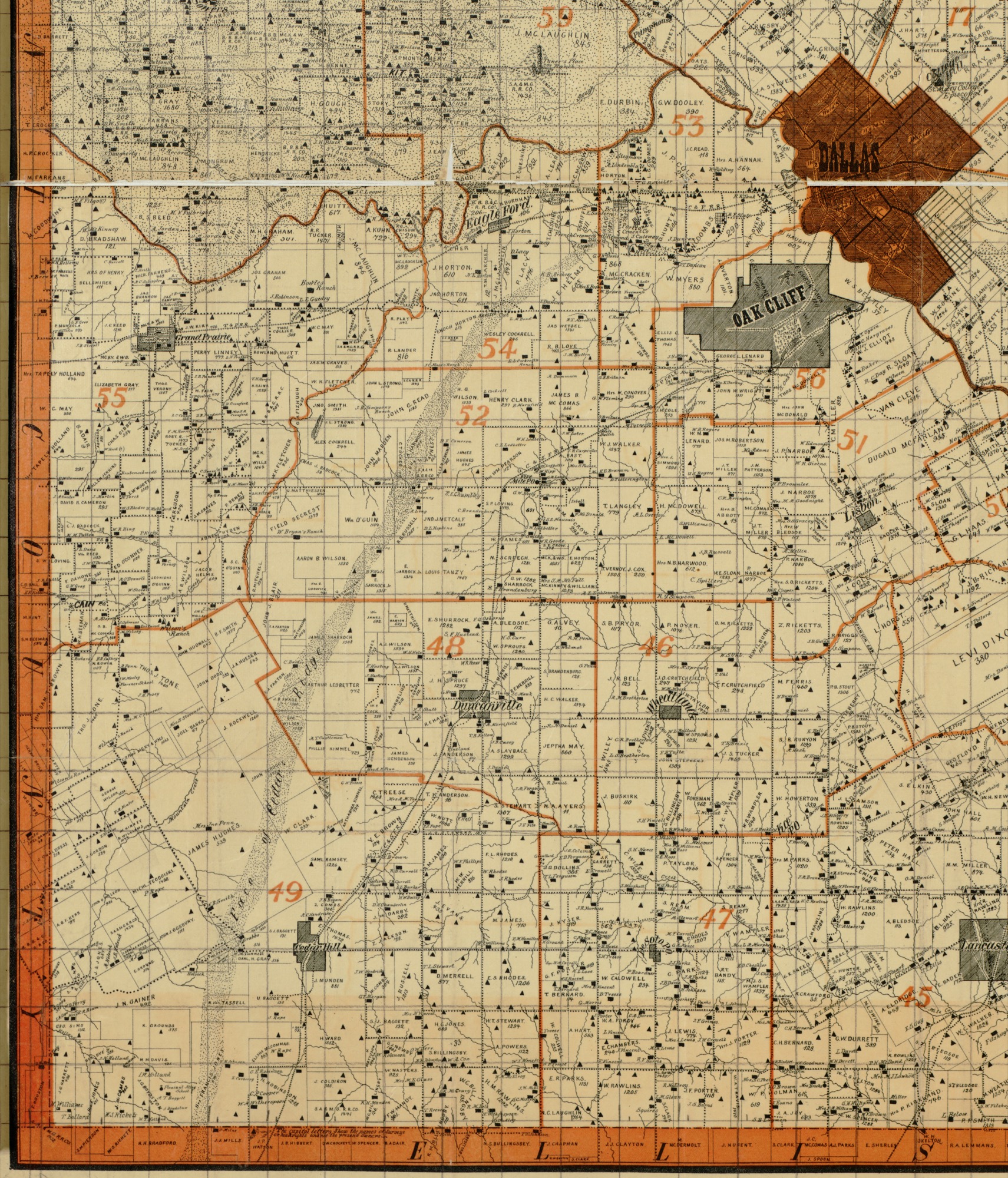
On the site: the 1900 chapter · city limits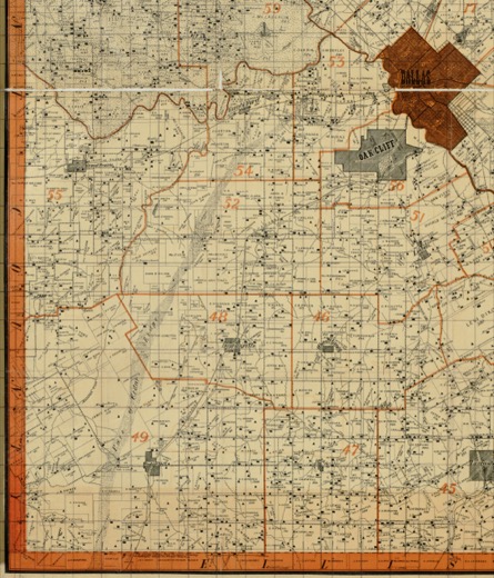 Sam Street's map of Dallas County — the south-western sheet — 1900
Duncanville, Cedar Hill, Lisbon and Lancaster, with Dallas and Oak Cliff at the top right. Not yet georeferenced.
Sam Street, Dallas
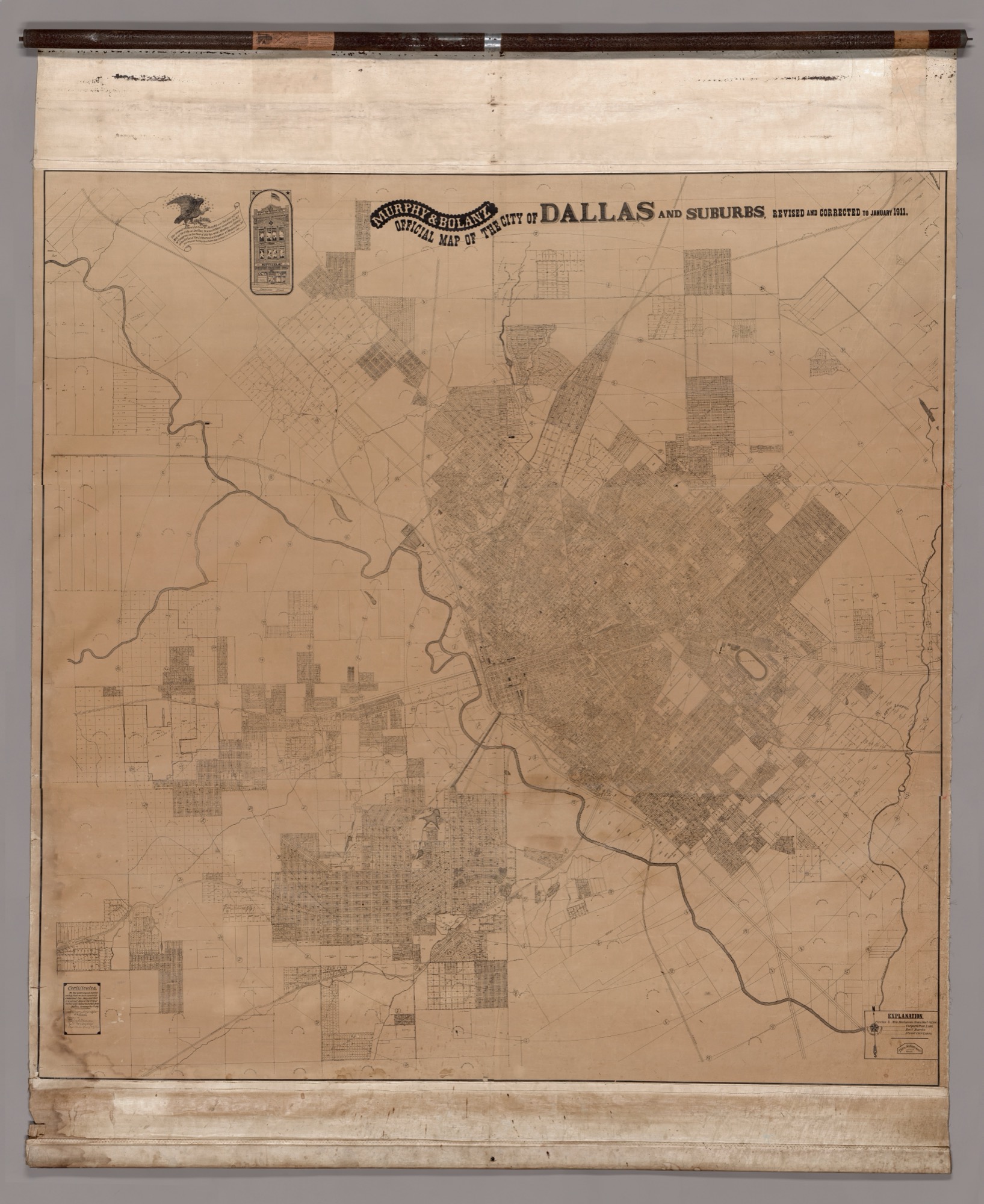
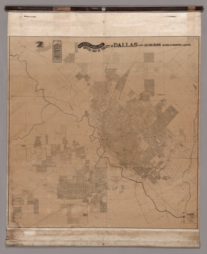 Murphy & Bolanz official map of the City of Dallas and suburbs, revised and corrected to January 1911 — 1911, wall map
The additions platted across Oak Cliff and West Dallas by 1911, the colony land among them.
Murphy & Bolanz; scan of the mounted sheet
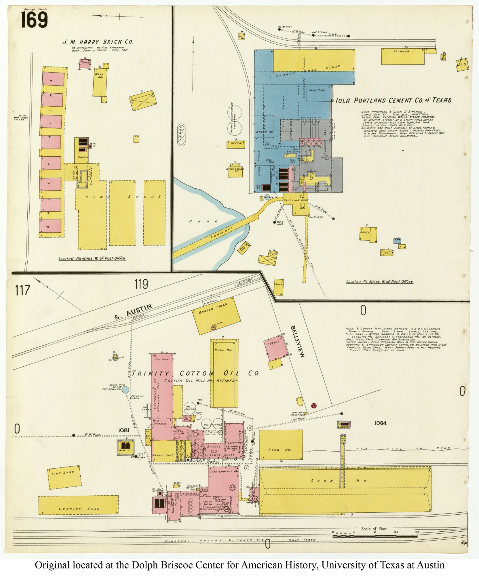
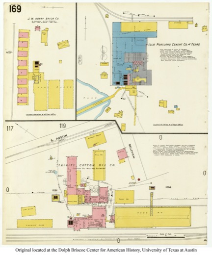 Sanborn fire insurance map of Dallas, sheet 169 — 1905
Iola Portland Cement Co. of Texas, J. M. Harry Brick Co. and Trinity Cotton Oil, four and a half miles west of the post office: the cement era's plant, drawn building by building for the insurers.
Dolph Briscoe Center for American History, University of Texas
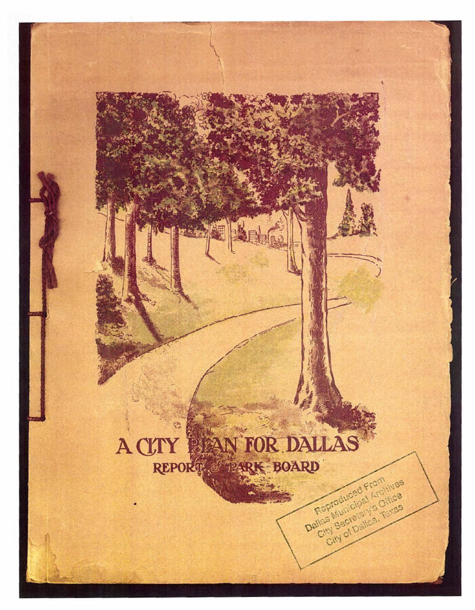
On the site: the cement era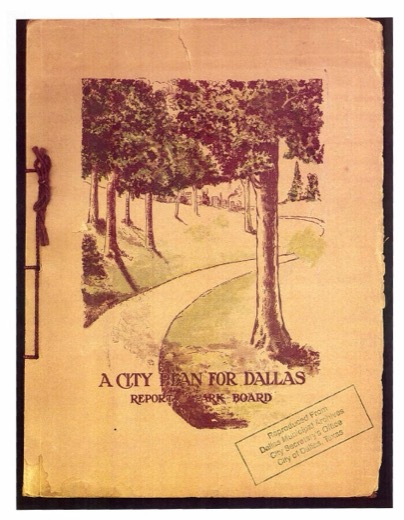 A City Plan for Dallas — report of the Park Board (the Kessler plan) — 1911
The plan that reorganised the city around the levees and the union station. Cover shown; the report is held as a PDF.
City of Dallas, reproduction; 66 pages
The colony land afterwards
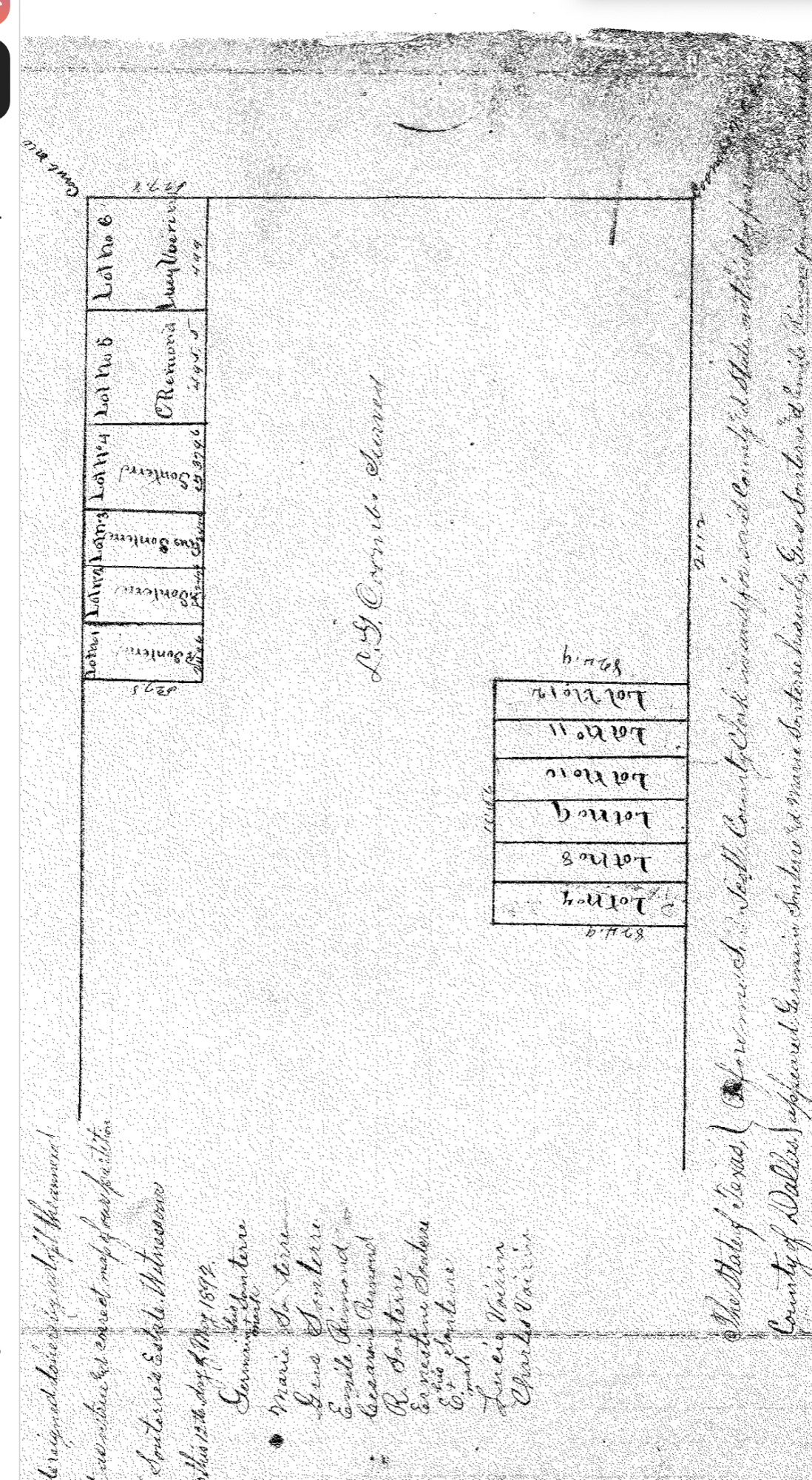
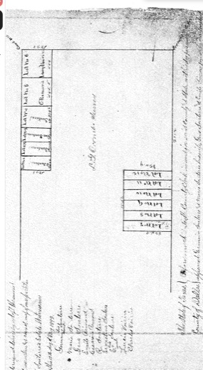 Partition of the Santerre lands, L. G. Coombs survey — 1892
The Santerre estate divided among the heirs — Marie, Emile and Césarine Rémond, René Santerre and the rest — thirty-seven years after the colony.
Deed-record plat
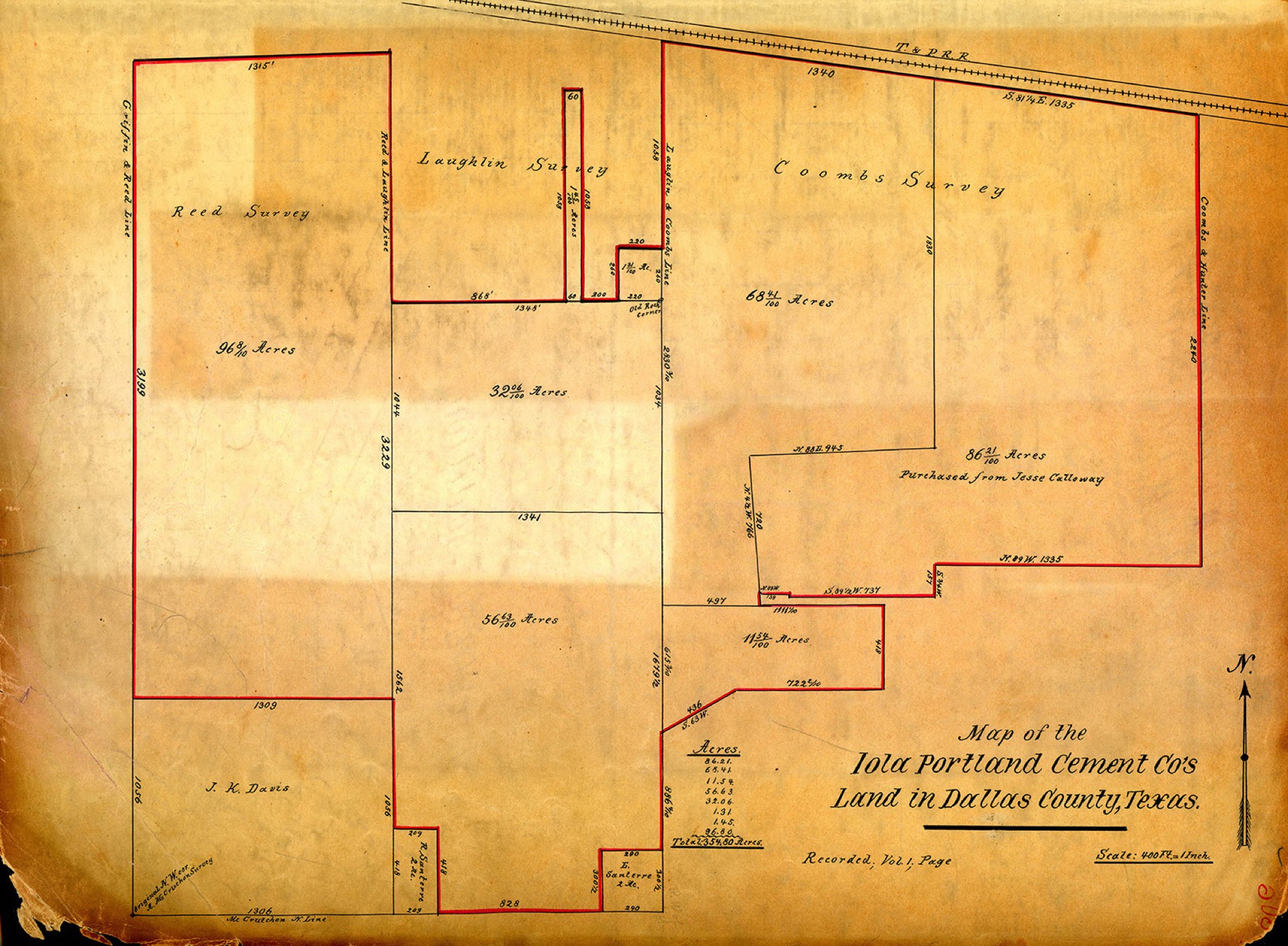
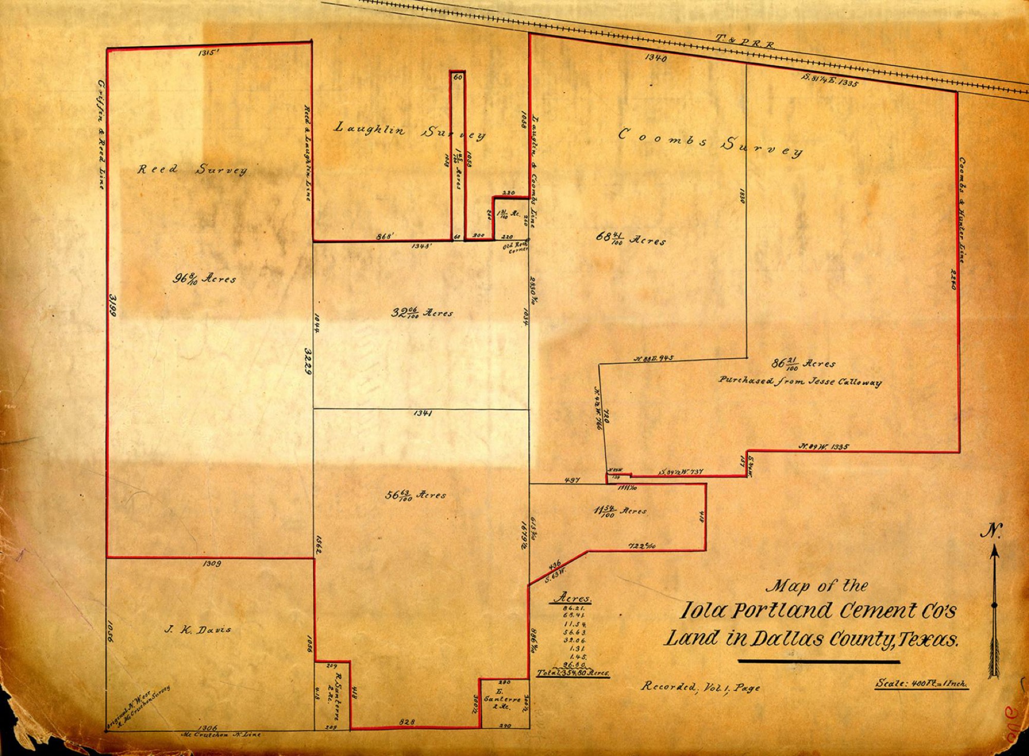
On the site: the colony lands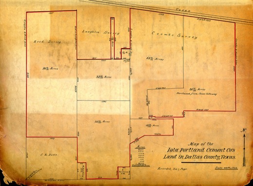 Map of the Iola Portland Cement Co.'s land in Dallas County — c. 1906–1907
The cement company's holdings across the Reed, Laughlin and Coombs surveys — including the sixty acres Césarine Rémond sold in 1906 — with the T&P on its north edge and E. Santerre's two acres held out.
Murphy & Bolanz addition book 3, p. 305 (Dallas Public Library); recorded Vol. 1; 400 feet to the inch · pages: 1 · 2
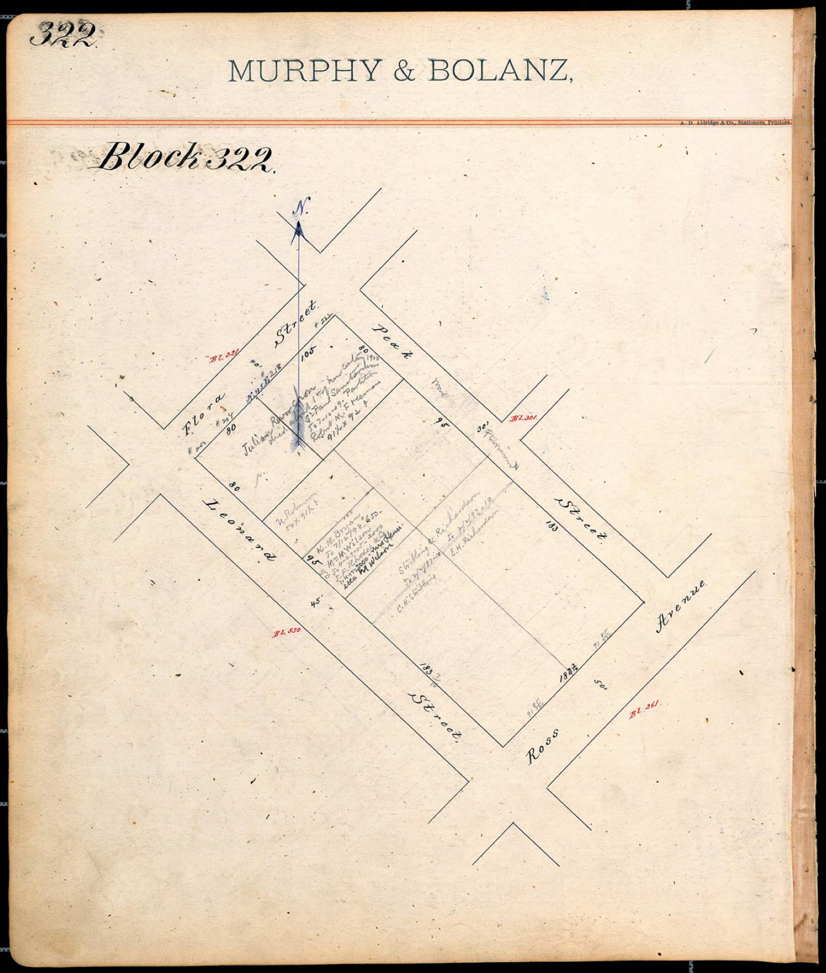
On the site: the cement era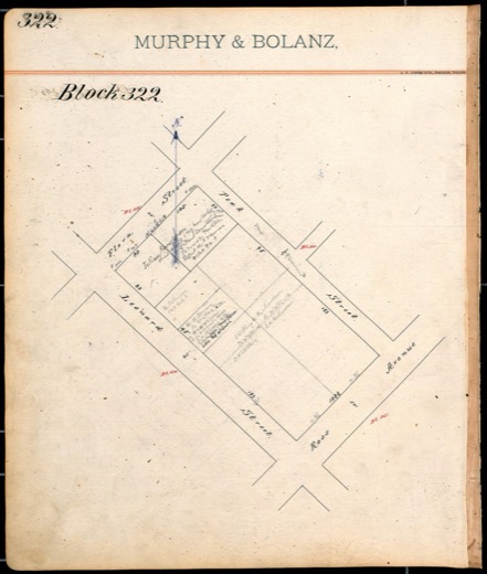 Block 322 — Julien Reverchon's lot — block book, 1890s
Julien Reverchon's lot on the block between Ross Avenue, Flora, Peak and Leonard streets, East Dallas — not the colony land but the city block the family kept.
Murphy & Bolanz block book 1, p. 322 (Dallas Public Library)
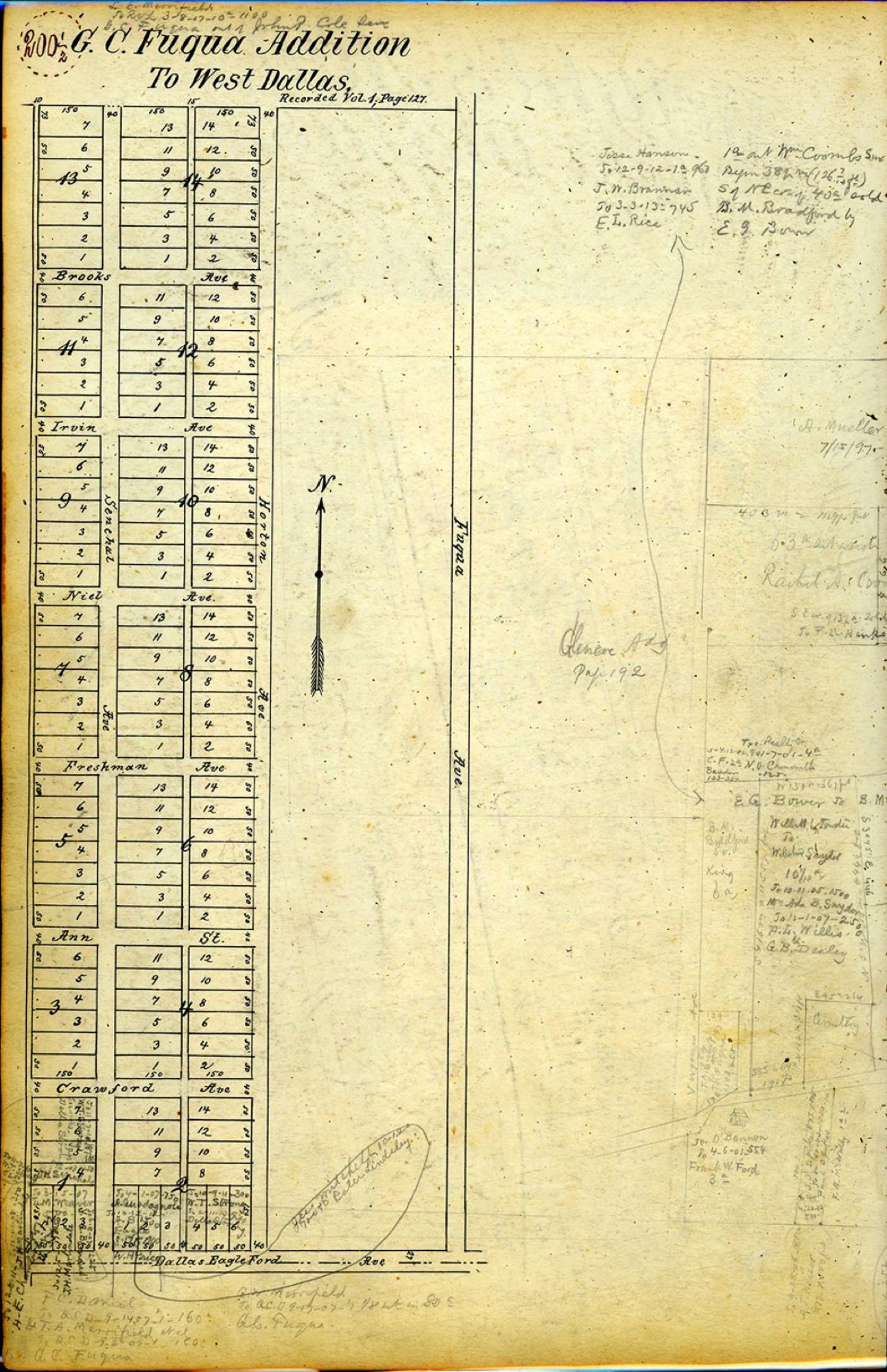
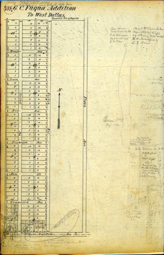 West Dallas additions — addition books 2 and 3
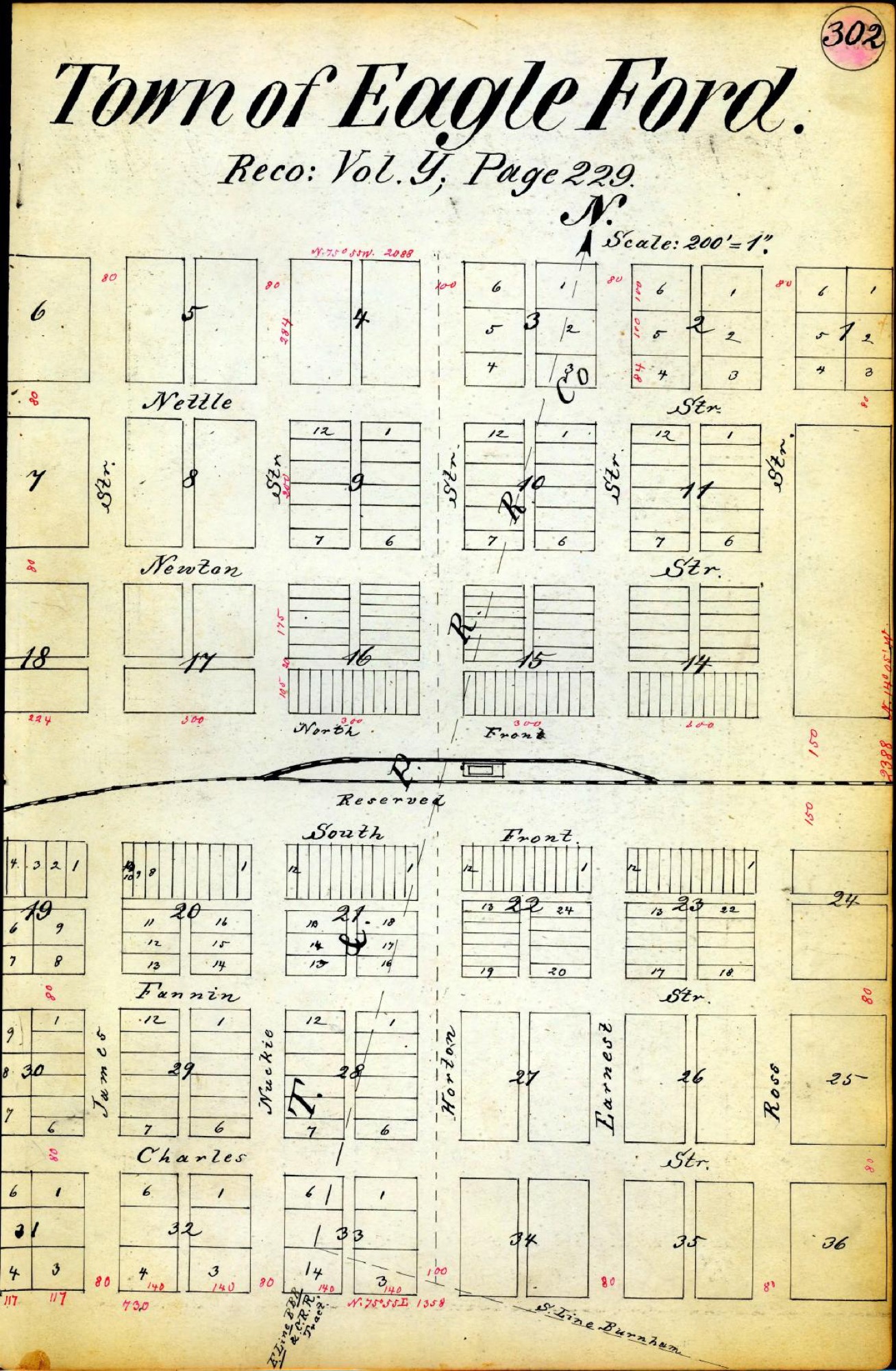
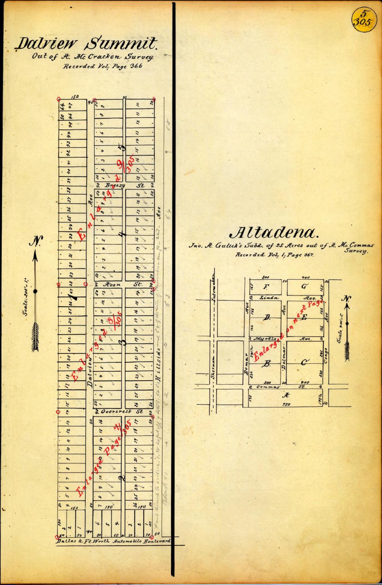
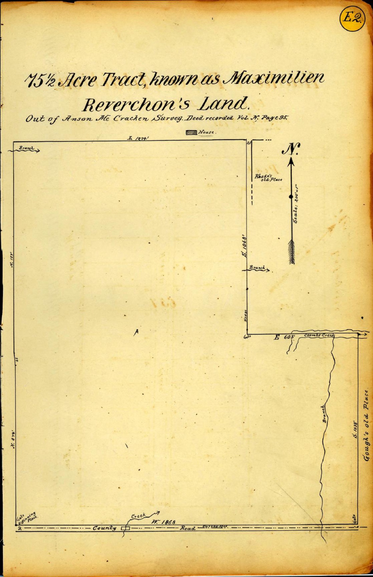
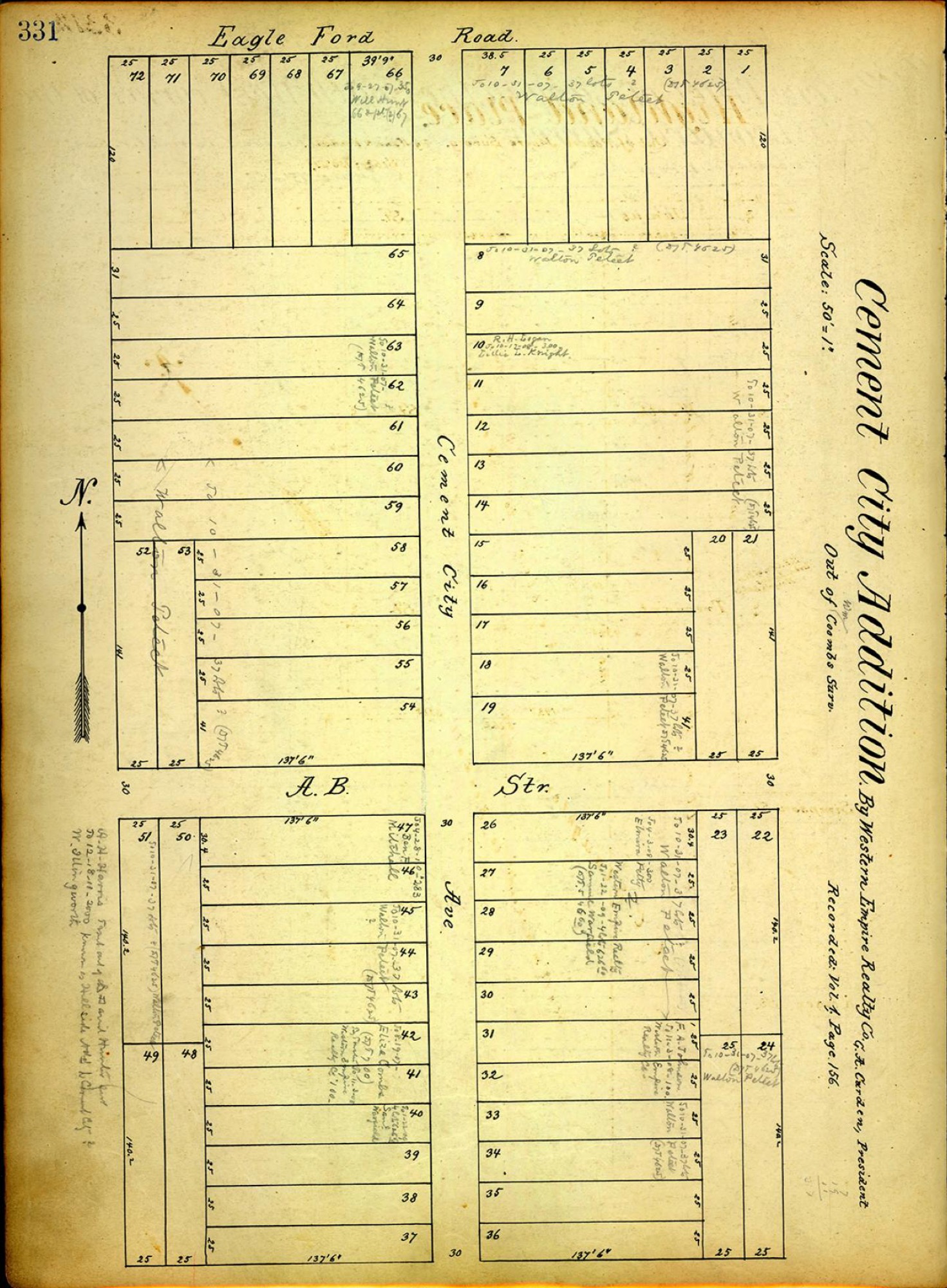
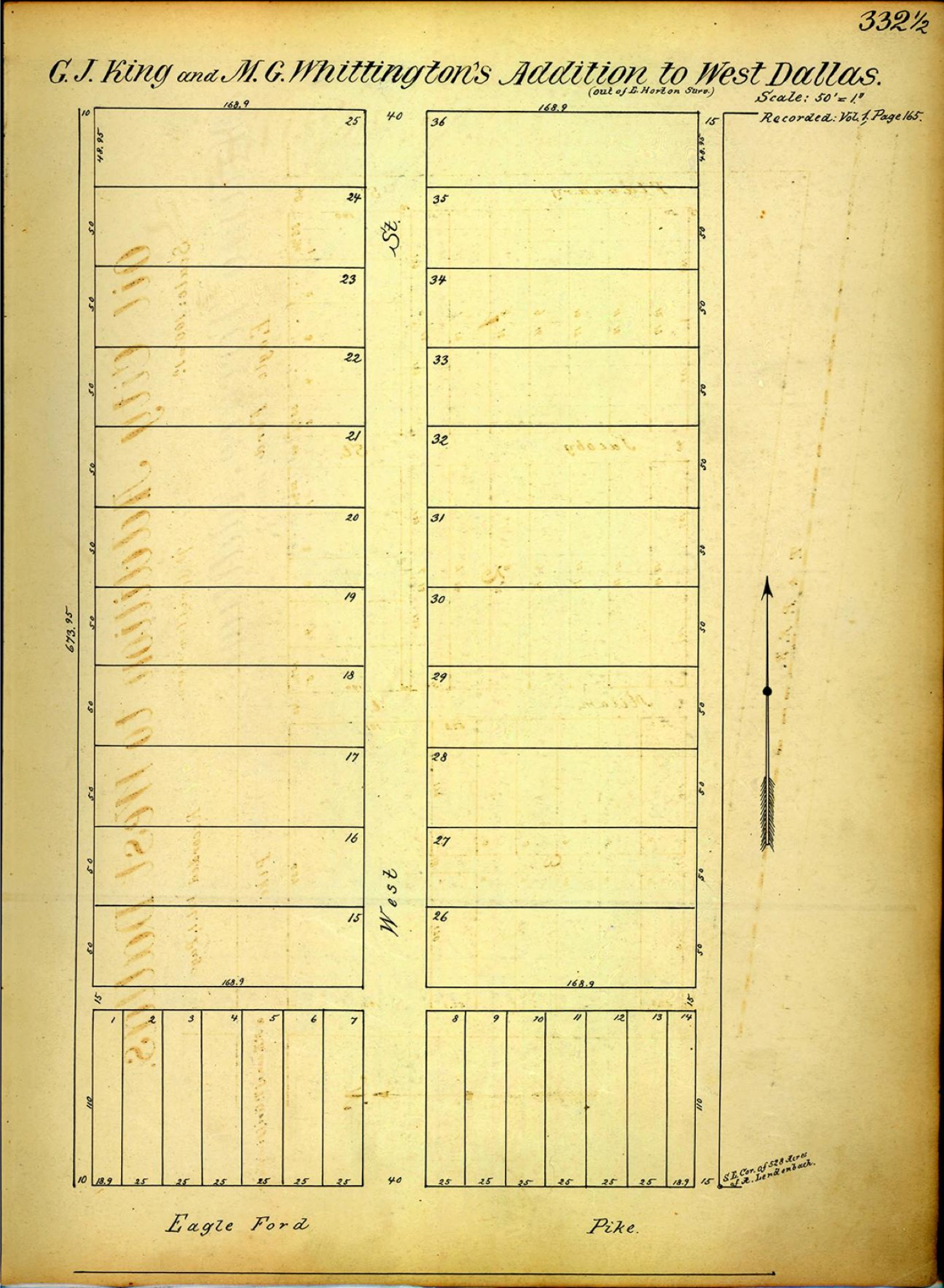
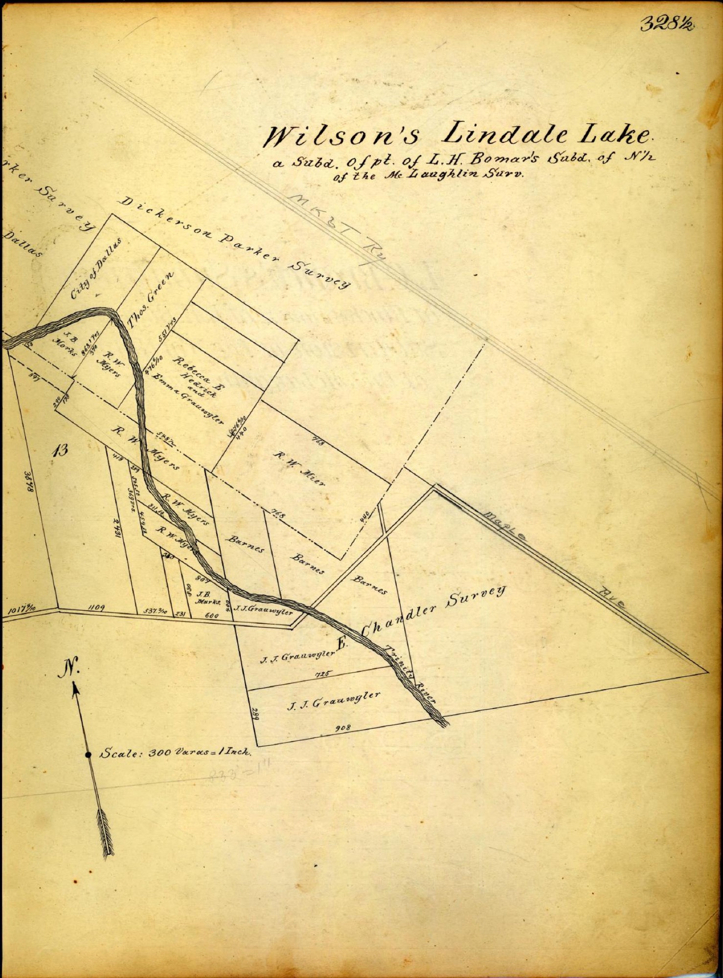
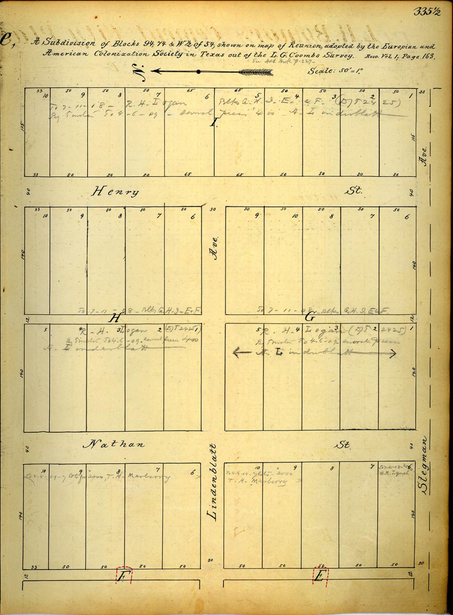
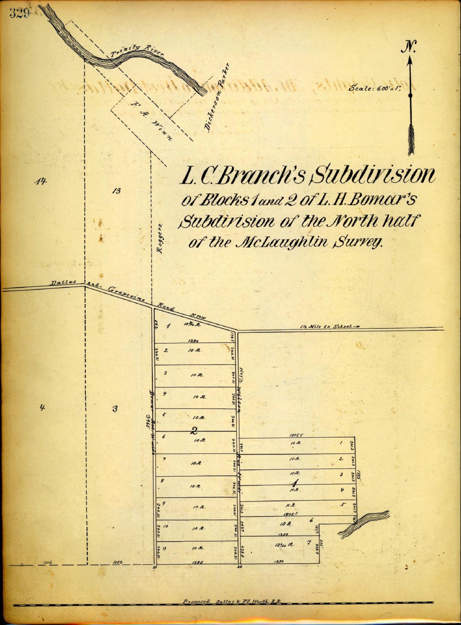
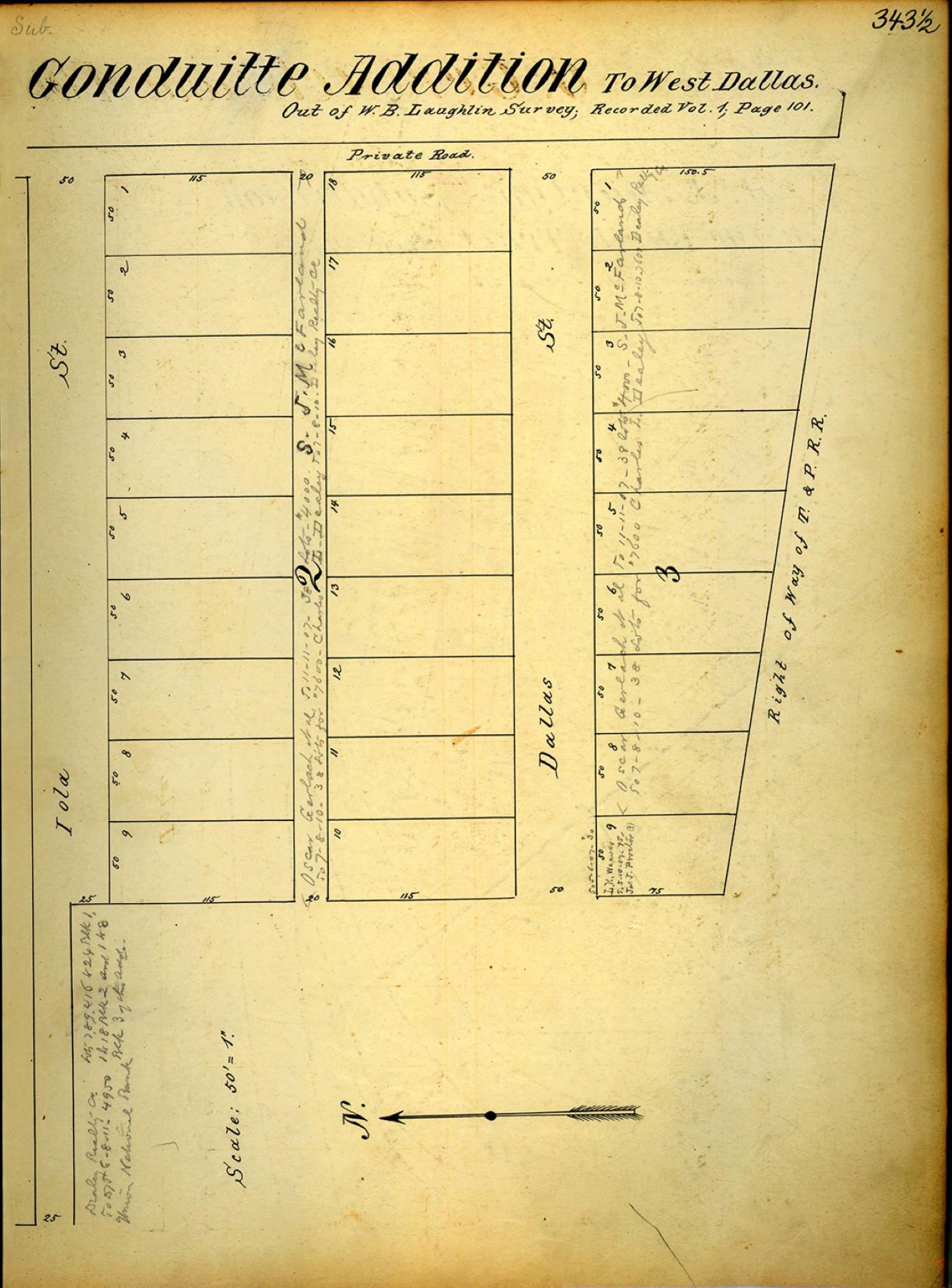
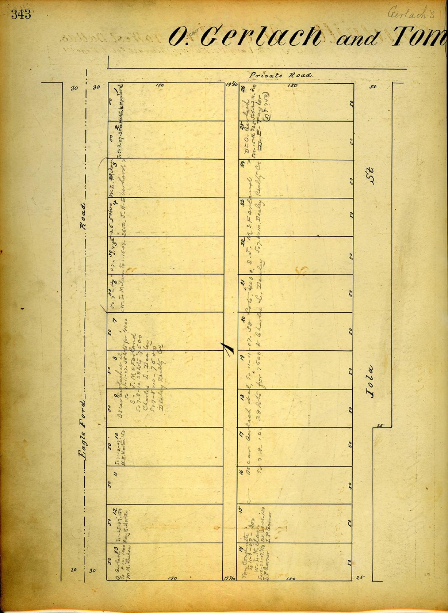
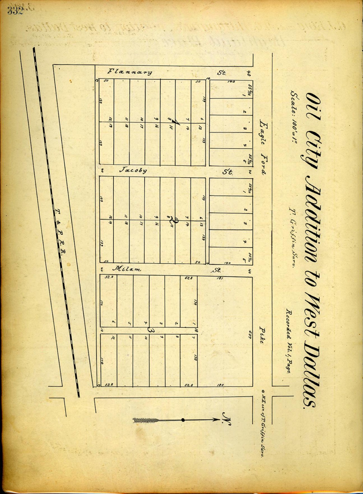
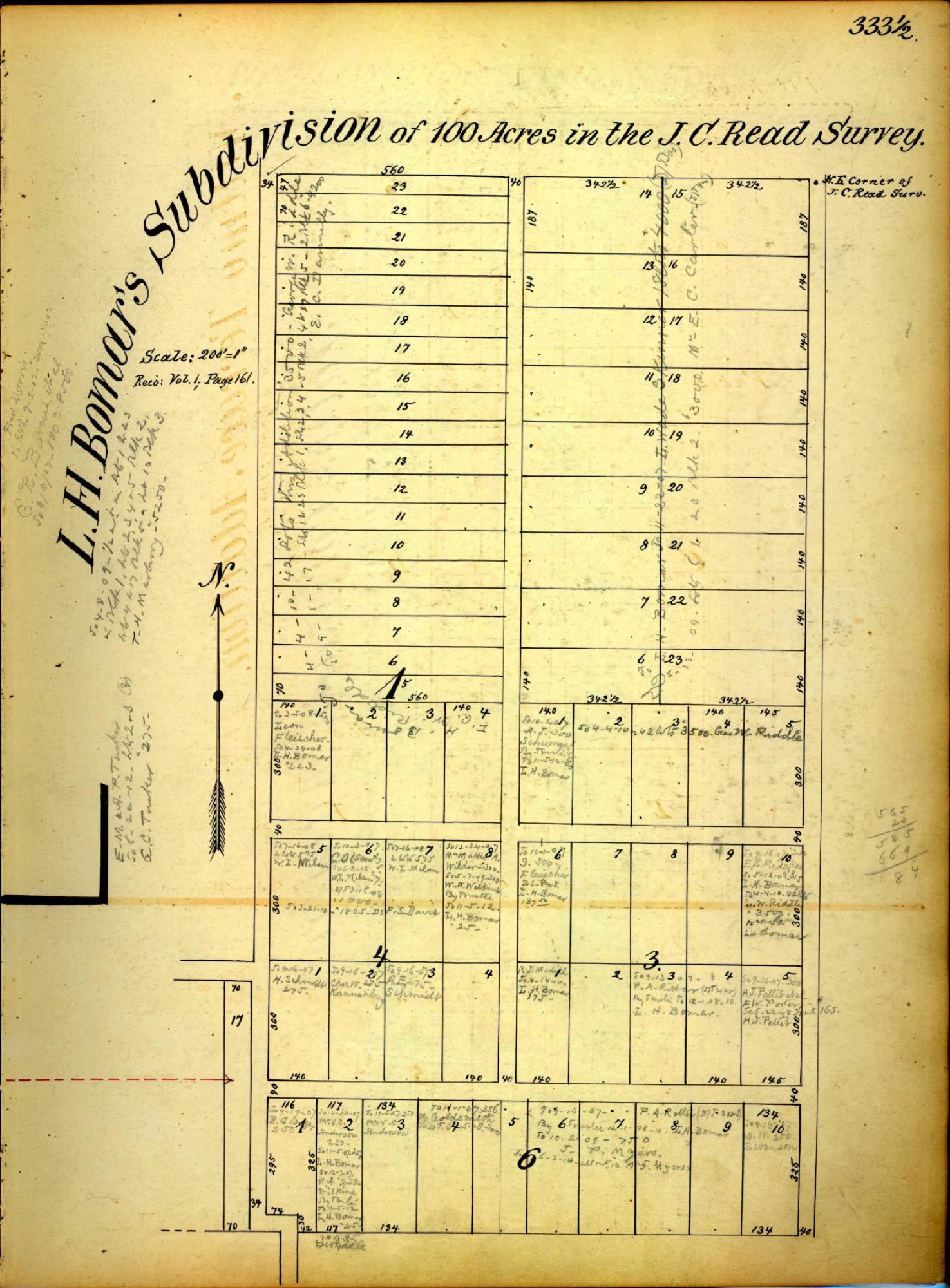
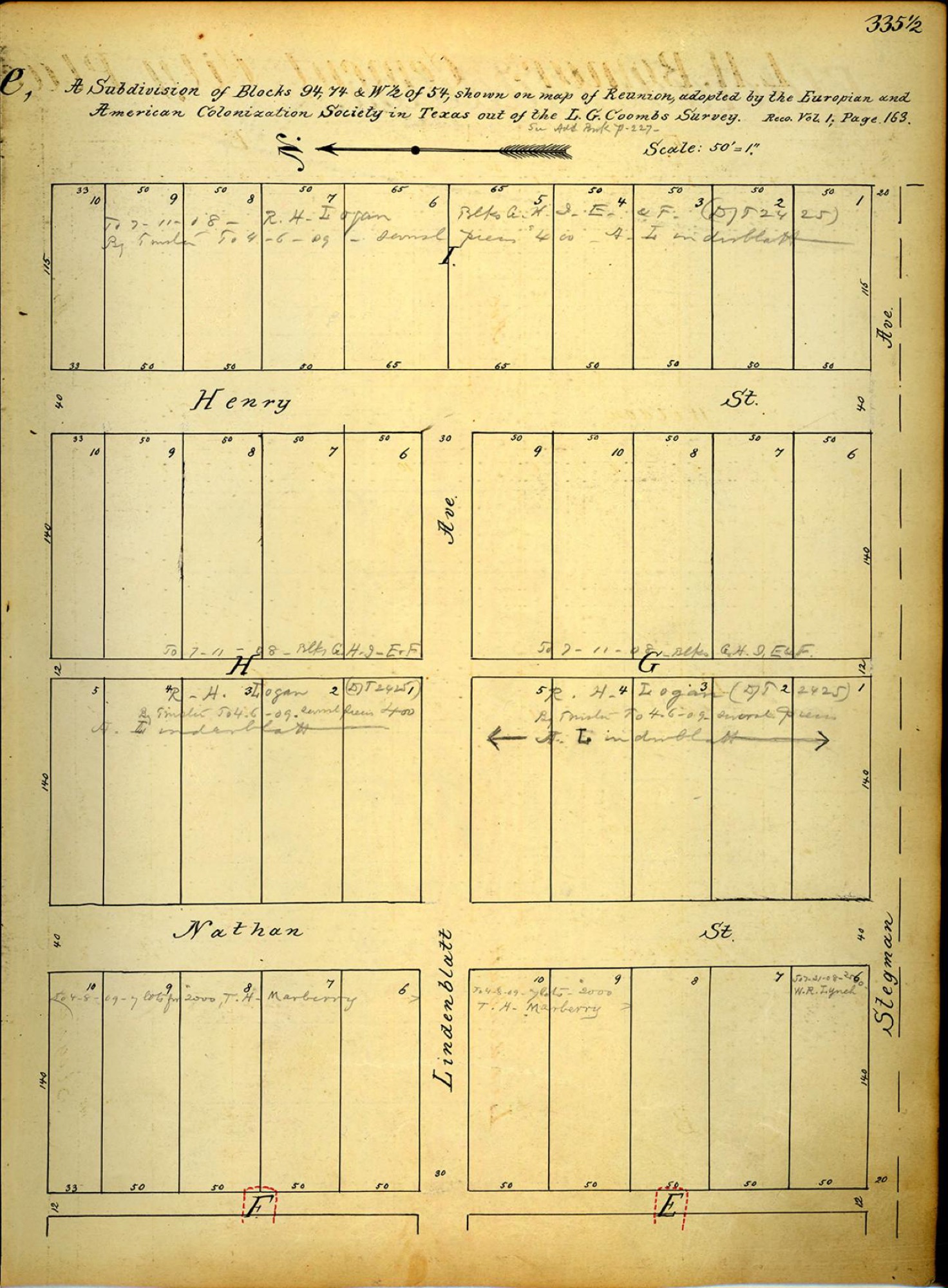
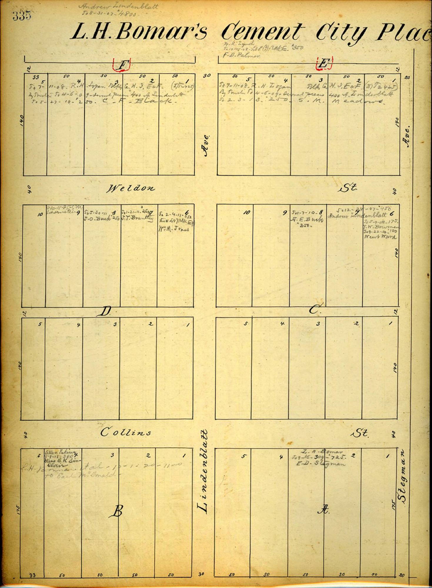
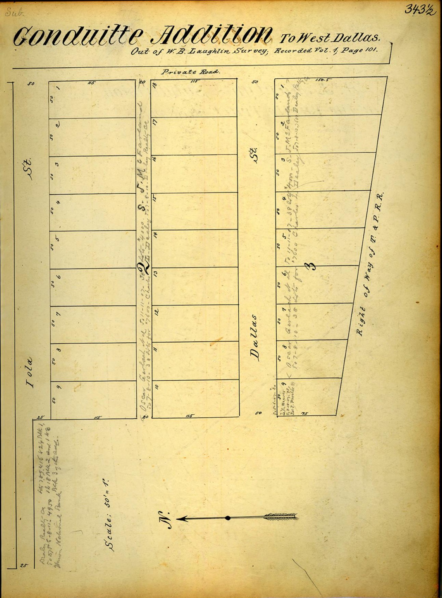
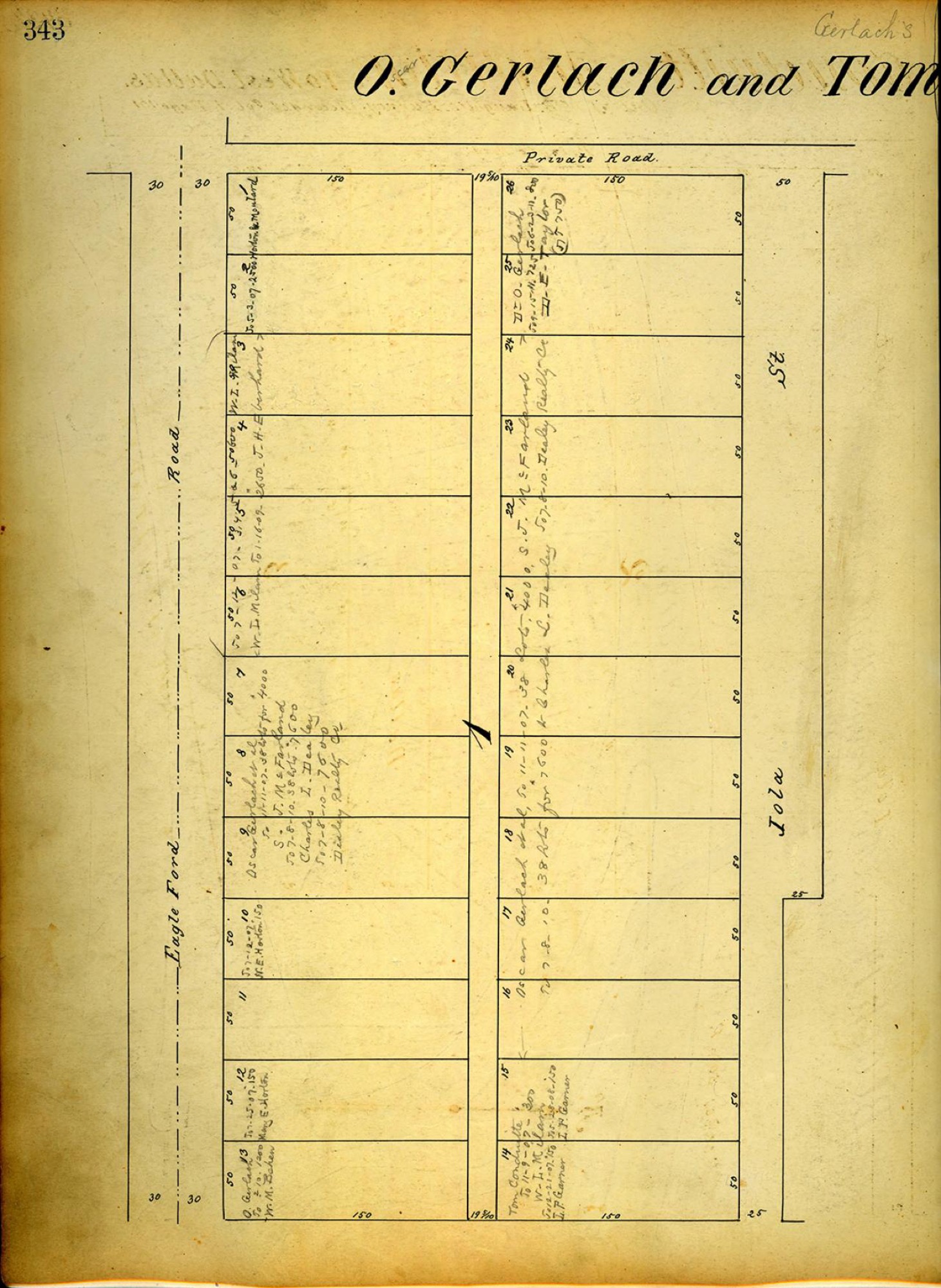
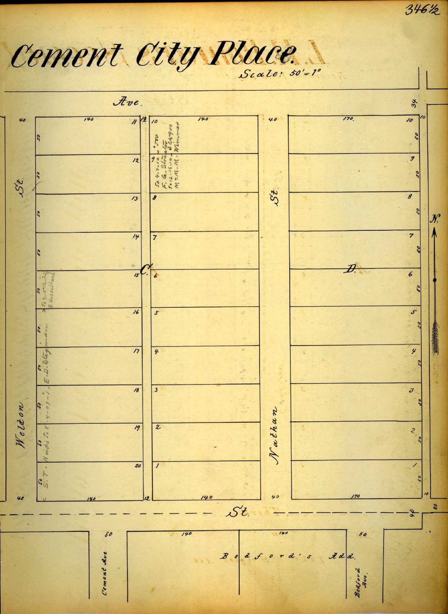
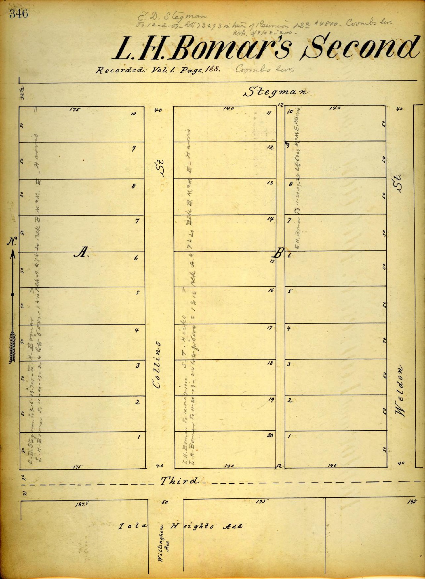
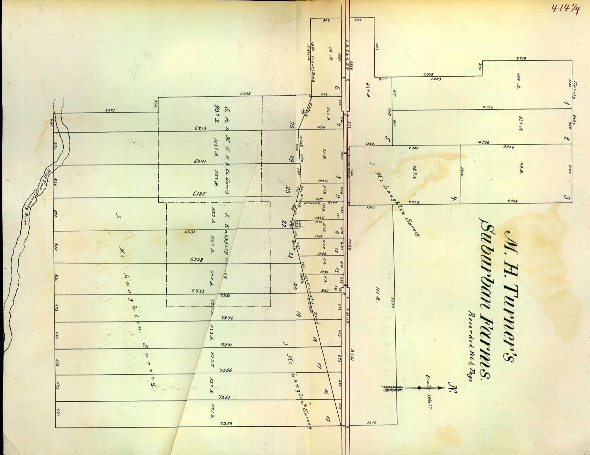
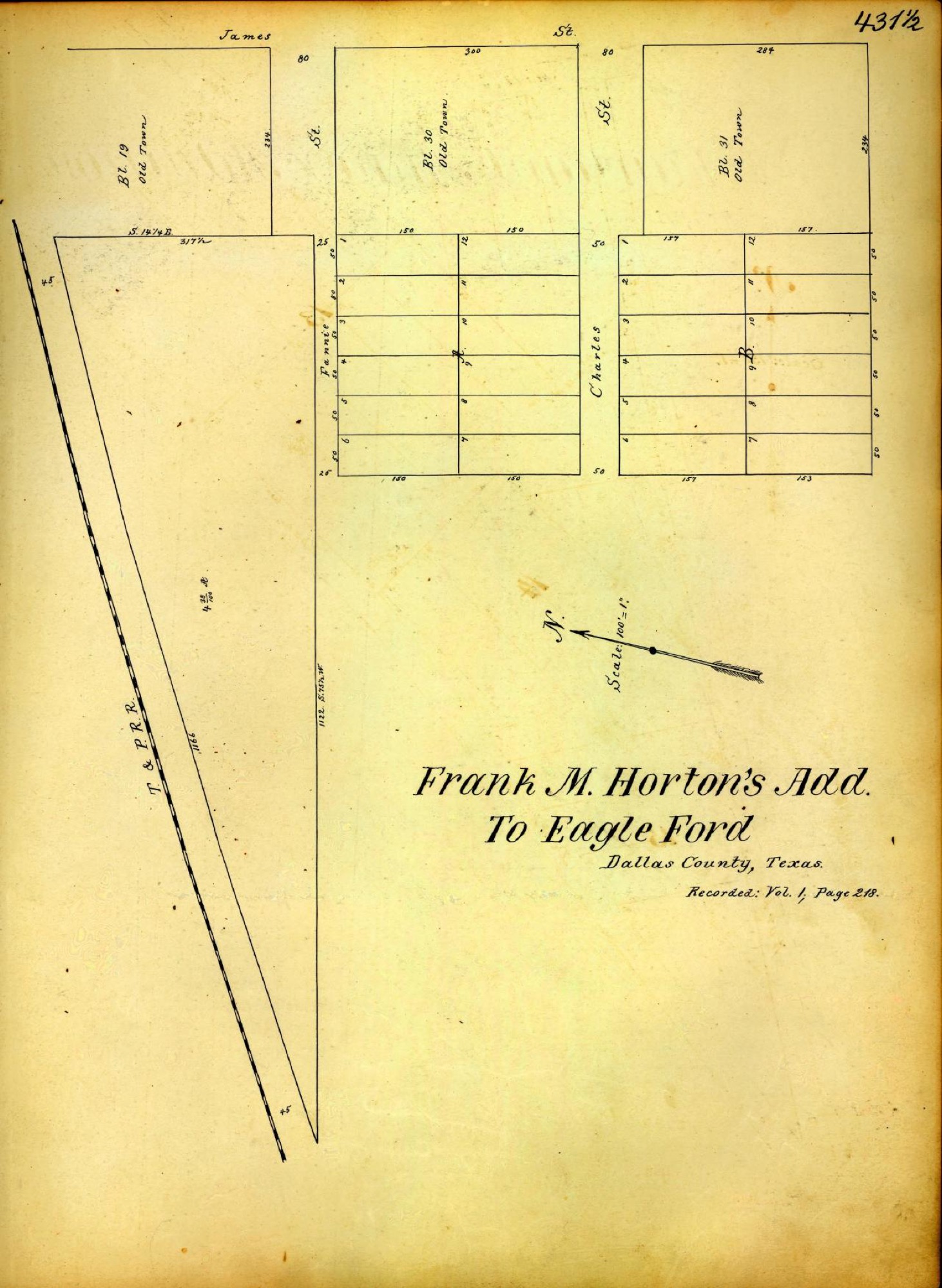
The subdivisions platted over the colony's ground and around it: Maximilien Reverchon's 75½ acres out of McCracken, the subdivision of Reunion blocks 94, 74 and 54, Iola Heights, Bomar's Cement City places, Bomar's north half of the McLaughlin survey that was the colony's reserve, and the town of Eagle Ford — each page a plat with its scale and recording reference.
Murphy & Bolanz addition books (Dallas Public Library), 24 pages · pages: 1 · 2 · 3 · 4 · 5 · 6 · 7 · 8 · 9 · 10 · 11 · 12 · 13 · 14 · 15 · 16 · 17 · 18 · 19 · 20 · 21 · 22 · 23 · 24
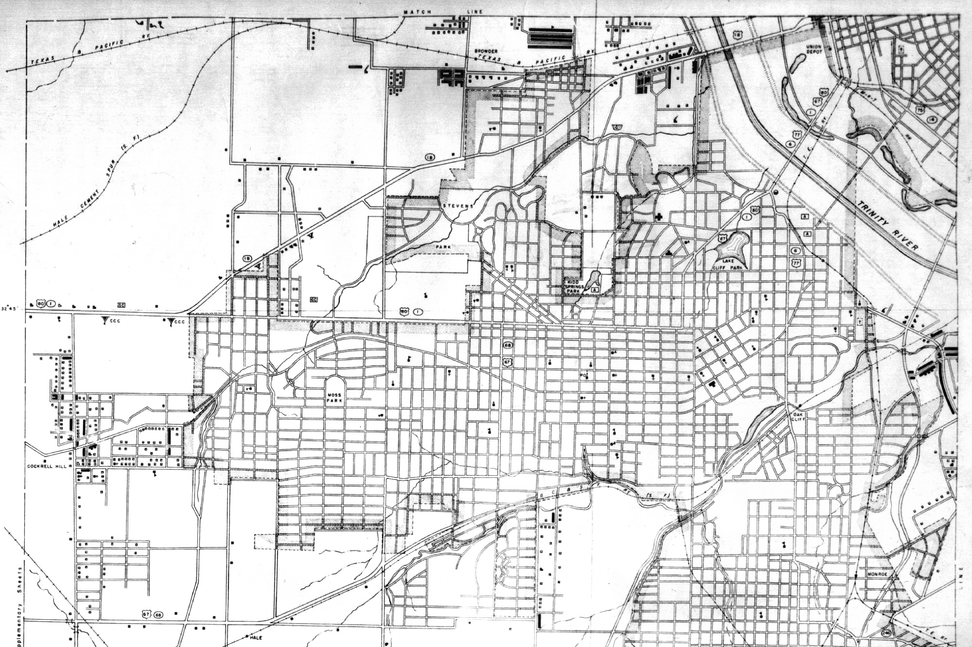
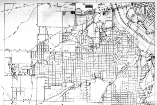 Highway map of Oak Cliff and West Dallas — 1936
Cockrell Hill, Eagle Ford and the cement plant on the state highway map, the year before the last colony land went to housing.
via Jim Wheat's Dallas County archive
Modern context
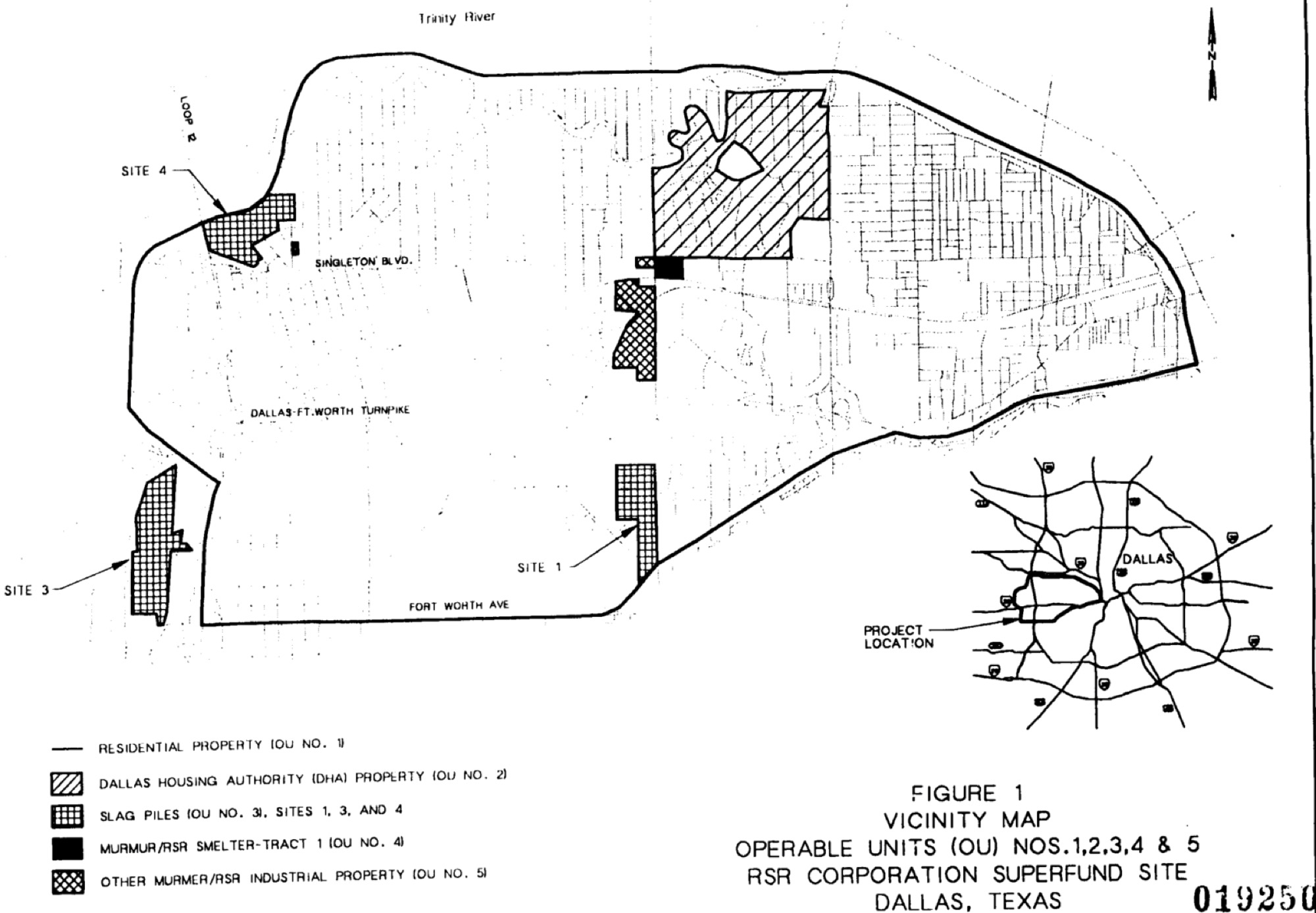
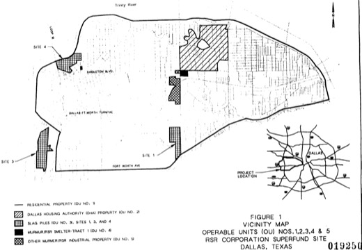 RSR Corporation Superfund site, vicinity map — EPA
The lead-smelter site and its slag piles across West Dallas.
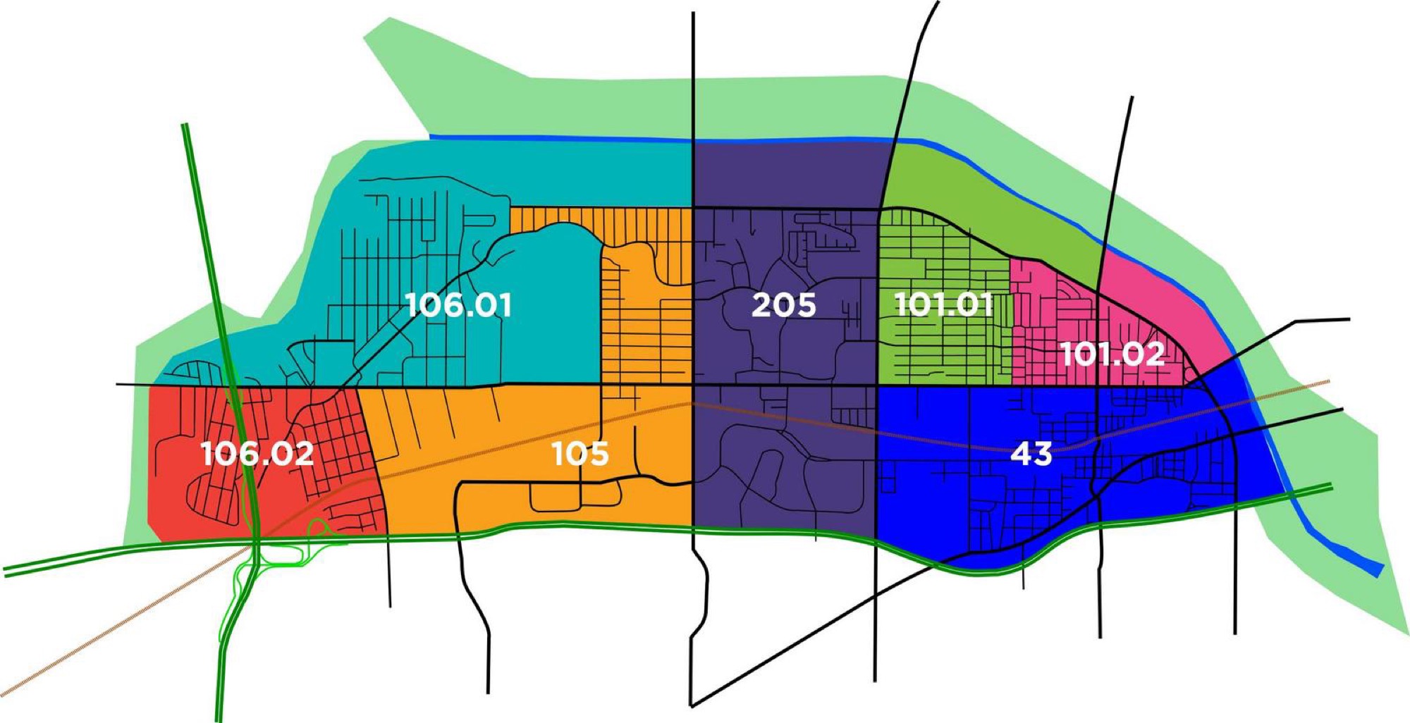
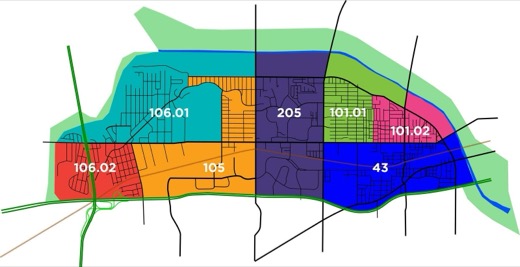 West Dallas census tracts — modern
The neighbourhood as the census draws it now.
planning map
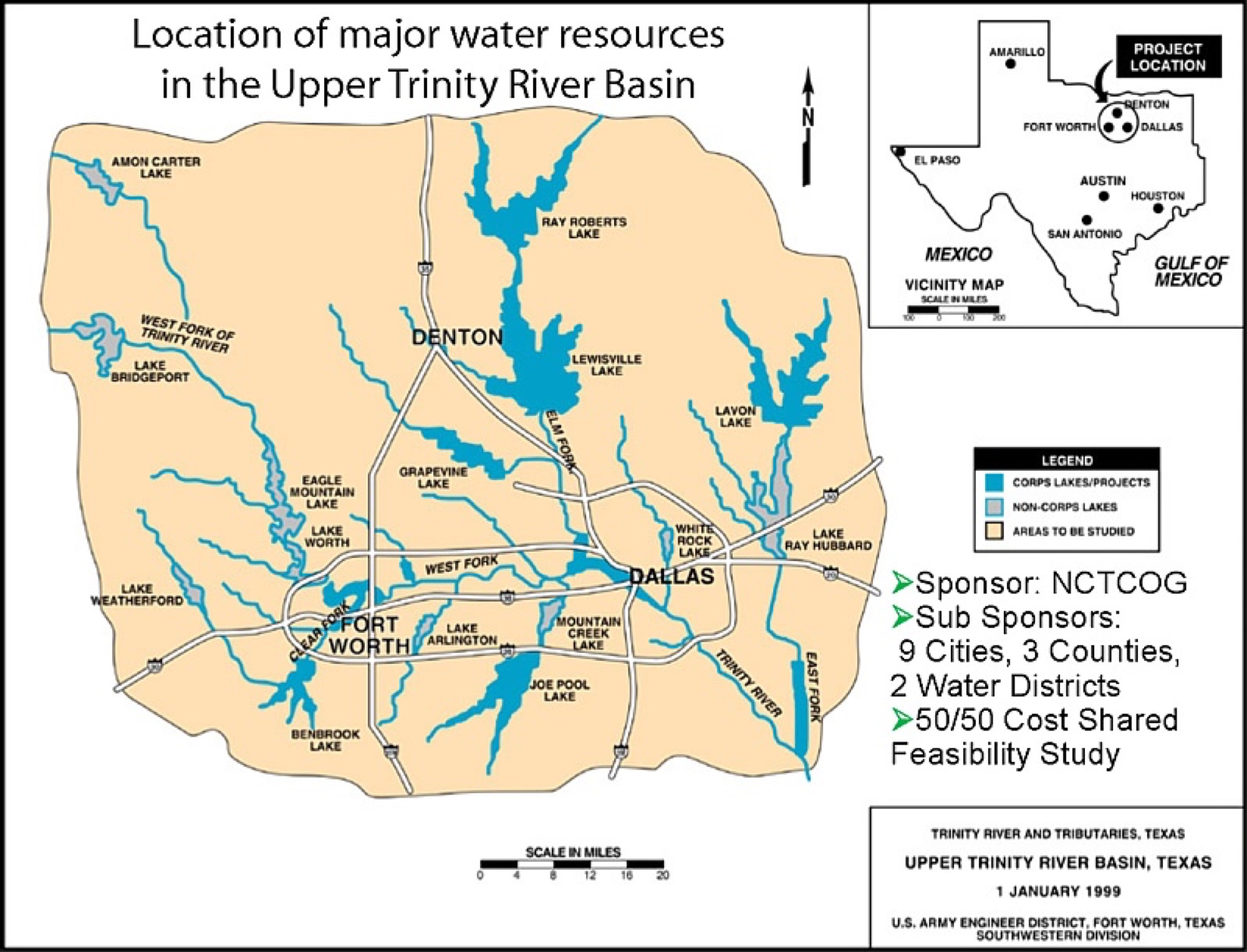
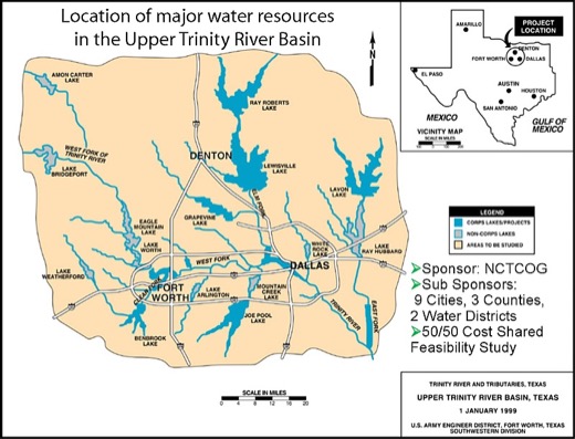 Upper Trinity River basin — 1 January 1999
The river the colony was placed on, at basin scale.
U.S. Army Corps of Engineers, Fort Worth District
Filed with the maps
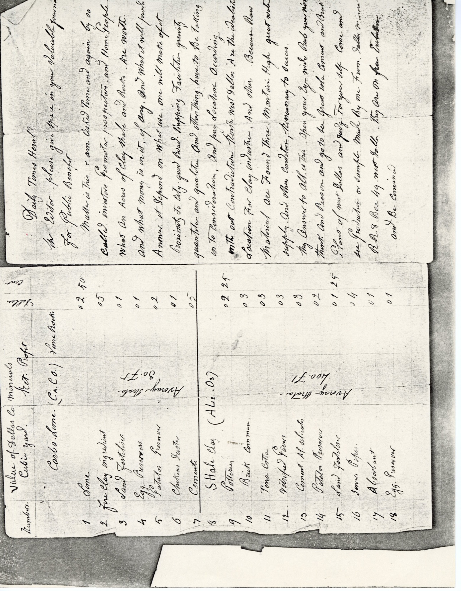
 Manuscript letter and table: the value of Dallas County minerals — undated
A letter to the editor of the Daily Times Herald with a costed table of the county's minerals — lime, shale clay, cement — by an author the file does not name.
Dallas Historical Society, A.77.10, five pages · pages: 1 · 2 · 3 · 4 · 5

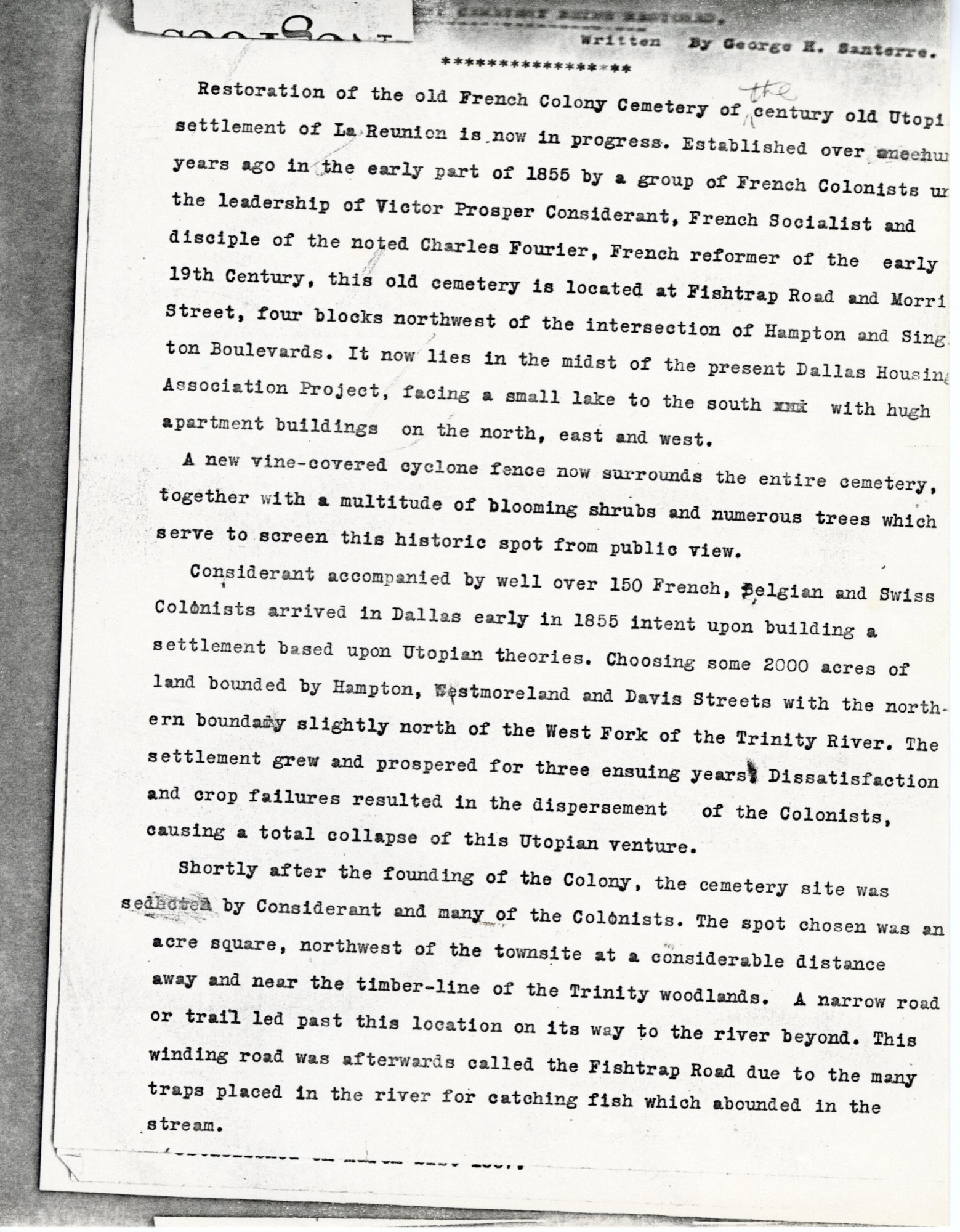
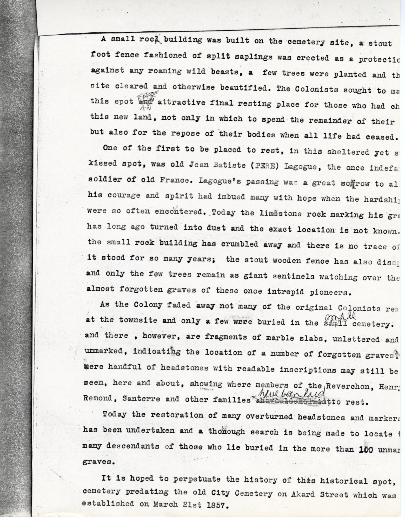
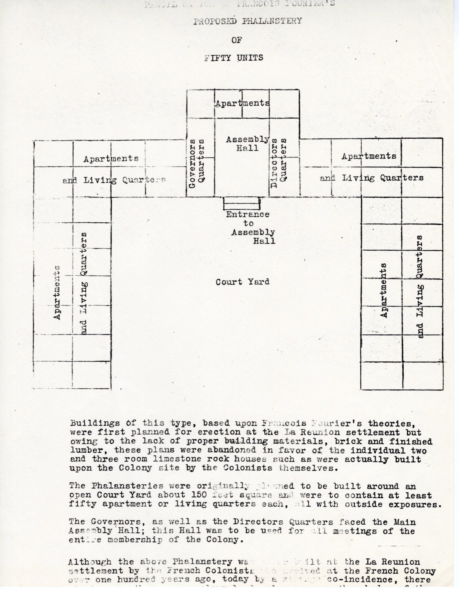
Held, not reproduced
Modern drawings in copyright, and sheets whose origin the file does not yet establish: kept in the archive and cited in the notes, not reproduced here.
- Santerre's sketch map of the Three Forks and the colony lands — George H. Santerre, White Cliffs of Dallas, 1955
- The colonists' parcels on the modern street grid — Bruno Verlet, Cahiers Charles Fourier
- Mexican-American neighbourhoods (barrios), 1900–1970 — Cemento Grande, Cemento Chico and Eagle Ford/Ledbetter on the colony's cement ground — Dallas Mexican American Historical League
- Aerial photograph of the cement works and the colony ground — the quarry, the kilns and tanks, the T&P and the streets of Cement City — undated, mid-twentieth century; provenance not recorded in the file
- Blueline ownership map of western Dallas County — Read, McLaughlin, Coombs and their neighbours — edition and publisher not identified